Distance to Liggett, Indiana

Calculating Your Route
Just a moment while we process your request...
Location Information
-
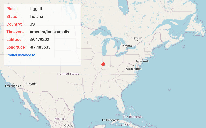
Full AddressLiggett, IN 47885
-
Coordinates39.4792023, -87.4836328
-
LocationLiggett , Indiana , US
-
TimezoneAmerica/Indianapolis
-
Page Views0
About Liggett
Liggett is an unincorporated community in Sugar Creek Township, Vigo County, in the U.S. state of Indiana.
It is part of the Terre Haute metropolitan area.
Nearby Places
Found 10 places within 50 miles

Ferguson Hill
1.5 mi
2.4 km
Ferguson Hill, IN 47885
Get directions
Larimer Hill
1.7 mi
2.7 km
Larimer Hill, IN 47885
Get directions
Toad Hop
1.8 mi
2.9 km
Toad Hop, IN 47885
Get directions

St Mary-Of-The-Woods
2.4 mi
3.9 km
St Mary-Of-The-Woods, IN
Get directions

Terre Haute
3.8 mi
6.1 km
Terre Haute, IN
Get directions

Tecumseh
6.7 mi
10.8 km
Tecumseh, IN 47885
Get directions
McKeen
7.1 mi
11.4 km
McKeen, Wabash Township, IL 62441
Get directions
New Goshen
7.1 mi
11.4 km
New Goshen, IN
Get directions
Marley
7.4 mi
11.9 km
Marley, Elbridge Township, IL 61944
Get directions
Woodgate
8.4 mi
13.5 km
Woodgate, IN 47802
Get directions
Location Links
Local Weather
Weather Information
Coming soon!
Location Map
Static map view of Liggett, Indiana
Browse Places by Distance
Places within specific distances from Liggett
Short Distances
Long Distances
Click any distance to see all places within that range from Liggett. Distances shown in miles (1 mile ≈ 1.61 kilometers).