Distance to Greenfield, New Hampshire

Calculating Your Route
Just a moment while we process your request...
Location Information
-
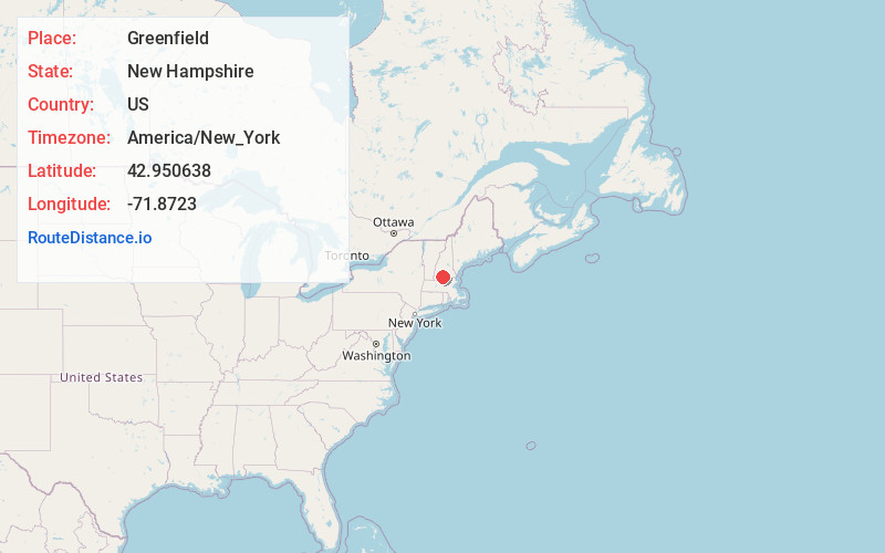
Full AddressGreenfield, NH
-
Coordinates42.9506384, -71.8723003
-
LocationGreenfield , New Hampshire , US
-
TimezoneAmerica/New_York
-
Current Local Time6:35:16 AM America/New_YorkFriday, May 23, 2025
-
Website
-
Page Views0
About Greenfield
Greenfield is a town in Hillsborough County, New Hampshire, United States. The population was 1,716 at the 2020 census. Greenfield is home to the Crotched Mountain Rehabilitation Center, to Greenfield State Park, and to part of the Wapack Trail.
Nearby Places
Found 10 places within 50 miles

Antrim
6.5 mi
10.5 km
Antrim, NH 03440
Get directions

Peterborough
6.8 mi
10.9 km
Peterborough, NH
Get directions

Deering
8.6 mi
13.8 km
Deering, NH
Get directions

New Boston
9.2 mi
14.8 km
New Boston, NH
Get directions

Wilton
10.0 mi
16.1 km
Wilton, NH 03086
Get directions

Mont Vernon
10.7 mi
17.2 km
Mont Vernon, NH
Get directions

Hillsborough
11.4 mi
18.3 km
Hillsborough, NH
Get directions

Jaffrey
12.1 mi
19.5 km
Jaffrey, NH 03452
Get directions

Weare
12.3 mi
19.8 km
Weare, NH 03281
Get directions

Greenville
13.0 mi
20.9 km
Greenville, NH
Get directions
Location Links
Local Weather
Weather Information
Coming soon!
Location Map
Static map view of Greenfield, New Hampshire
Browse Places by Distance
Places within specific distances from Greenfield
Short Distances
Long Distances
Click any distance to see all places within that range from Greenfield. Distances shown in miles (1 mile ≈ 1.61 kilometers).