Distance to Peterborough, New Hampshire

Calculating Your Route
Just a moment while we process your request...
Location Information
-
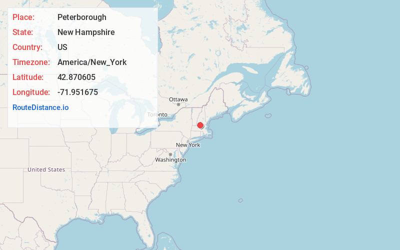
Full AddressPeterborough, NH
-
Coordinates42.8706048, -71.9516746
-
LocationPeterborough , New Hampshire , US
-
TimezoneAmerica/New_York
-
Current Local Time5:58:28 AM America/New_YorkThursday, June 19, 2025
-
Website
-
Page Views0
About Peterborough
Peterborough is a town in Hillsborough County, New Hampshire, United States. The population was 6,418 at the 2020 census. The main village, with 3,090 people at the 2020 census, is a census-designated place and lies along the Contoocook River at the junction of U.S. Route 202 and New Hampshire Route 101.


Nearby Places
Found 10 places within 50 miles

Rindge
8.8 mi
14.2 km
Rindge, NH 03461
Get directions

Winchendon
13.5 mi
21.7 km
Winchendon, MA
Get directions

Milford
15.5 mi
24.9 km
Milford, NH
Get directions

Amherst
16.4 mi
26.4 km
Amherst, NH 03031
Get directions

Swanzey
16.6 mi
26.7 km
Swanzey, NH
Get directions

Keene
17.1 mi
27.5 km
Keene, NH
Get directions

Townsend
18.8 mi
30.3 km
Townsend, MA
Get directions

Weare
19.1 mi
30.7 km
Weare, NH 03281
Get directions

Hollis
20.4 mi
32.8 km
Hollis, NH 03049
Get directions

Gardner
20.6 mi
33.2 km
Gardner, MA
Get directions
Location Links
Local Weather
Weather Information
Coming soon!
Location Map
Static map view of Peterborough, New Hampshire
Browse Places by Distance
Places within specific distances from Peterborough
Short Distances
Long Distances
Click any distance to see all places within that range from Peterborough. Distances shown in miles (1 mile ≈ 1.61 kilometers).