Distance to Hollis, New Hampshire

Calculating Your Route
Just a moment while we process your request...
Location Information
-
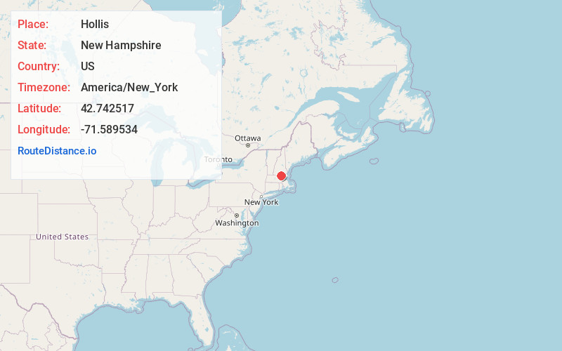
Full AddressHollis, NH 03049
-
Coordinates42.7425166, -71.5895344
-
LocationHollis , New Hampshire , US
-
TimezoneAmerica/New_York
-
Current Local Time12:19:26 AM America/New_YorkTuesday, June 17, 2025
-
Page Views0
About Hollis
Hollis is a town in Hillsborough County, New Hampshire, United States. The population was 8,342 at the 2020 census, having grown 9% from the 2010 population of 7,684. The town center village is listed on the National Register of Historic Places as Hollis Village Historic District.


Nearby Places
Found 10 places within 50 miles

Pepperell
5.3 mi
8.5 km
Pepperell, MA 01463
Get directions

Nashua
6.4 mi
10.3 km
Nashua, NH
Get directions

Milford
7.1 mi
11.4 km
Milford, NH
Get directions

Hudson
7.8 mi
12.6 km
Hudson, NH 03051
Get directions

Townsend
7.9 mi
12.7 km
Townsend, MA
Get directions

Amherst
8.6 mi
13.8 km
Amherst, NH 03031
Get directions

Litchfield
9.0 mi
14.5 km
Litchfield, NH 03052
Get directions

Groton
9.3 mi
15.0 km
Groton, MA
Get directions


Leaflet © OpenStreetMap contributors
Location Links
Local Weather
Weather Information
Coming soon!
Location Map
Static map view of Hollis, New Hampshire
Browse Places by Distance
Places within specific distances from Hollis
Short Distances
Long Distances
Click any distance to see all places within that range from Hollis. Distances shown in miles (1 mile ≈ 1.61 kilometers).