Distance to Tyngsborough, Massachusetts

Calculating Your Route
Just a moment while we process your request...
Location Information
-
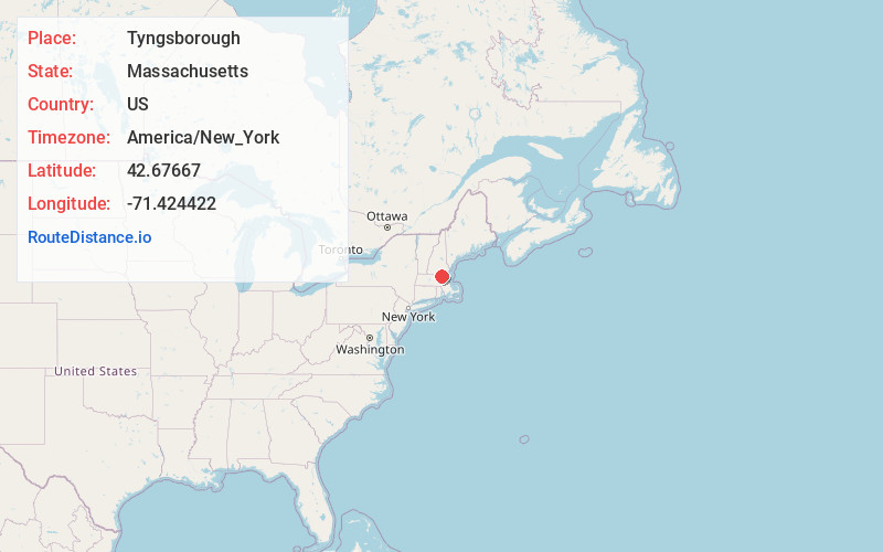
Full AddressTyngsborough, MA
-
Coordinates42.6766696, -71.4244224
-
LocationTyngsborough , Massachusetts , US
-
TimezoneAmerica/New_York
-
Current Local Time2:32:06 PM America/New_YorkTuesday, June 24, 2025
-
Website
-
Page Views0
About Tyngsborough
Tyngsborough is a town in northern Middlesex County, Massachusetts, United States. Tyngsborough is 28 miles from Boston along the Route 3 corridor, and located on the New Hampshire state line. At the 2020 census, the town population was 12,380.


Nearby Places
Found 10 places within 50 miles

Nashua
6.0 mi
9.7 km
Nashua, NH
Get directions

Lowell
6.1 mi
9.8 km
Lowell, MA
Get directions

Hudson
6.1 mi
9.8 km
Hudson, NH 03051
Get directions

Dracut
6.2 mi
10.0 km
Dracut, MA 01826
Get directions

Pelham
6.4 mi
10.3 km
Pelham, NH 03076
Get directions

Chelmsford
6.6 mi
10.6 km
Chelmsford, MA
Get directions

Westford
6.6 mi
10.6 km
Westford, MA 01886
Get directions

Tewksbury
10.7 mi
17.2 km
Tewksbury, MA
Get directions

Billerica
11.4 mi
18.3 km
Billerica, MA
Get directions

Windham
12.1 mi
19.5 km
Windham, NH 03087
Get directions
Location Links
Local Weather
Weather Information
Coming soon!
Location Map
Static map view of Tyngsborough, Massachusetts
Browse Places by Distance
Places within specific distances from Tyngsborough
Short Distances
Long Distances
Click any distance to see all places within that range from Tyngsborough. Distances shown in miles (1 mile ≈ 1.61 kilometers).