Distance to Greenleaf, Oregon

Calculating Your Route
Just a moment while we process your request...
Location Information
-
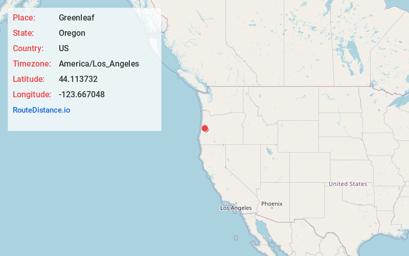
Full AddressGreenleaf, OR 97412
-
Coordinates44.1137317, -123.6670483
-
LocationGreenleaf , Oregon , US
-
TimezoneAmerica/Los_Angeles
-
Current Local Time2:05:02 AM America/Los_AngelesWednesday, June 11, 2025
-
Page Views0
About Greenleaf
Greenleaf is an unincorporated community in Lane County, Oregon, United States. Greenleaf lies on Oregon Route 36 east of Deadwood and west of Triangle Lake.
The name Greenleaf was first applied to the community about 1885, and when a post office was established in the area in 1892, the same name was used.
Nearby Places
Found 10 places within 50 miles

Alpha
3.9 mi
6.3 km
Alpha, OR 97430
Get directions

Deadwood
4.9 mi
7.9 km
Deadwood, OR 97430
Get directions

Triangle Lake
5.9 mi
9.5 km
Triangle Lake, OR 97412
Get directions

Swisshome
7.6 mi
12.2 km
Swisshome, OR 97480
Get directions
Reed
9.8 mi
15.8 km
Reed, OR 97430
Get directions

Horton
10.9 mi
17.5 km
Horton, OR 97412
Get directions

Mapleton
11.1 mi
17.9 km
Mapleton, OR 97453
Get directions
Low Pass
11.8 mi
19.0 km
Low Pass, OR 97419
Get directions
Fisher
15.0 mi
24.1 km
Fisher, OR 97390
Get directions
Tiernan
15.1 mi
24.3 km
Tiernan, OR 97439
Get directions
Location Links
Local Weather
Weather Information
Coming soon!
Location Map
Static map view of Greenleaf, Oregon
Browse Places by Distance
Places within specific distances from Greenleaf
Short Distances
Long Distances
Click any distance to see all places within that range from Greenleaf. Distances shown in miles (1 mile ≈ 1.61 kilometers).