Distance to Mapleton, Oregon

Calculating Your Route
Just a moment while we process your request...
Location Information
-
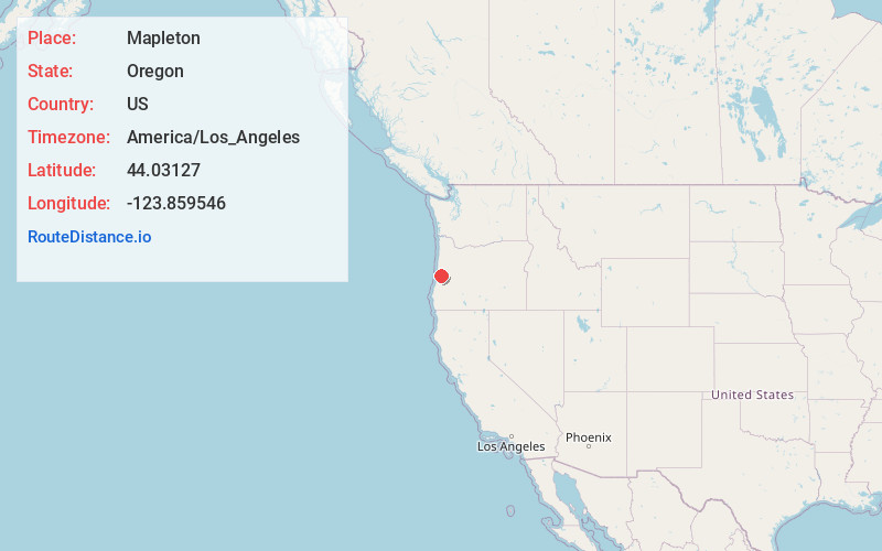
Full AddressMapleton, OR 97453
-
Coordinates44.0312703, -123.8595462
-
LocationMapleton , Oregon , US
-
TimezoneAmerica/Los_Angeles
-
Current Local Time7:22:37 PM America/Los_AngelesFriday, June 20, 2025
-
Page Views0
About Mapleton
Mapleton is an unincorporated community and census-designated place in Lane County, Oregon, United States. It is located on Oregon Route 126 and the Siuslaw River, 45 miles west of Eugene and 15 miles east of Florence. It is also the western terminus of Oregon Route 36.


Nearby Places
Found 10 places within 50 miles

Florence
12.4 mi
20.0 km
Florence, OR 97439
Get directions

Heceta Beach
13.4 mi
21.6 km
Heceta Beach, OR 97439
Get directions

Dunes City
16.3 mi
26.2 km
Dunes City, OR
Get directions

Yachats
22.8 mi
36.7 km
Yachats, OR 97498
Get directions

San Marine
25.1 mi
40.4 km
San Marine, OR
Get directions

Veneta
25.3 mi
40.7 km
Veneta, OR 97487
Get directions

Reedsport
25.6 mi
41.2 km
Reedsport, OR 97467
Get directions

Waldport
29.2 mi
47.0 km
Waldport, OR 97394
Get directions

Bayshore
30.1 mi
48.4 km
Bayshore, OR
Get directions

Monroe
34.1 mi
54.9 km
Monroe, OR 97456
Get directions
Location Links
Local Weather
Weather Information
Coming soon!
Location Map
Static map view of Mapleton, Oregon
Browse Places by Distance
Places within specific distances from Mapleton
Short Distances
Long Distances
Click any distance to see all places within that range from Mapleton. Distances shown in miles (1 mile ≈ 1.61 kilometers).