Distance to Greenwich, Utah

Calculating Your Route
Just a moment while we process your request...
Location Information
-
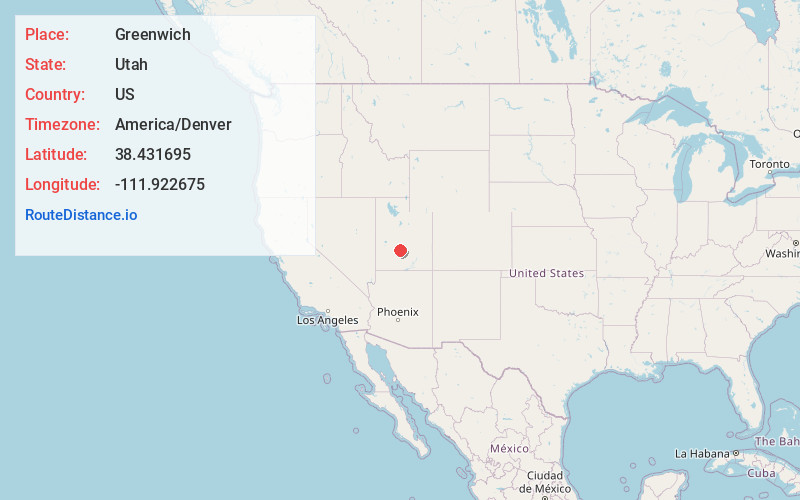
Full AddressGreenwich, UT 84732
-
Coordinates38.4316949, -111.9226747
-
LocationGreenwich , Utah , US
-
TimezoneAmerica/Denver
-
Current Local Time2:22:17 PM America/DenverThursday, June 5, 2025
-
Page Views0
About Greenwich
Greenwich is an unincorporated community in northeastern Piute County, Utah, United States, just east of the Fishlake National Forest. It lies along State Route 62 northeast of the town of Junction, the county seat of Piute County. Its elevation is 6,854 feet.


Nearby Places
Found 10 places within 50 miles

Koosharem
5.9 mi
9.5 km
Koosharem, UT 84744
Get directions

Burrville
10.1 mi
16.3 km
Burrville, UT 84701
Get directions

Lakeside Resort
12.3 mi
19.8 km
Lakeside Resort, UT 84701
Get directions

Angle
12.9 mi
20.8 km
Angle, UT 84712
Get directions

Loa
15.3 mi
24.6 km
Loa, UT 84747
Get directions
Thompsonville
15.9 mi
25.6 km
Thompsonville, Marysvale, UT 84750
Get directions

Fremont
16.5 mi
26.6 km
Fremont, UT 84749
Get directions

Marysvale
16.7 mi
26.9 km
Marysvale, UT 84750
Get directions

Monroe
17.4 mi
28.0 km
Monroe, UT 84754
Get directions
Alunite
17.9 mi
28.8 km
Alunite, UT 84750
Get directions
Location Links
Local Weather
Weather Information
Coming soon!
Location Map
Static map view of Greenwich, Utah
Browse Places by Distance
Places within specific distances from Greenwich
Short Distances
Long Distances
Click any distance to see all places within that range from Greenwich. Distances shown in miles (1 mile ≈ 1.61 kilometers).