Distance to Greers Ferry, Arkansas

Calculating Your Route
Just a moment while we process your request...
Location Information
-
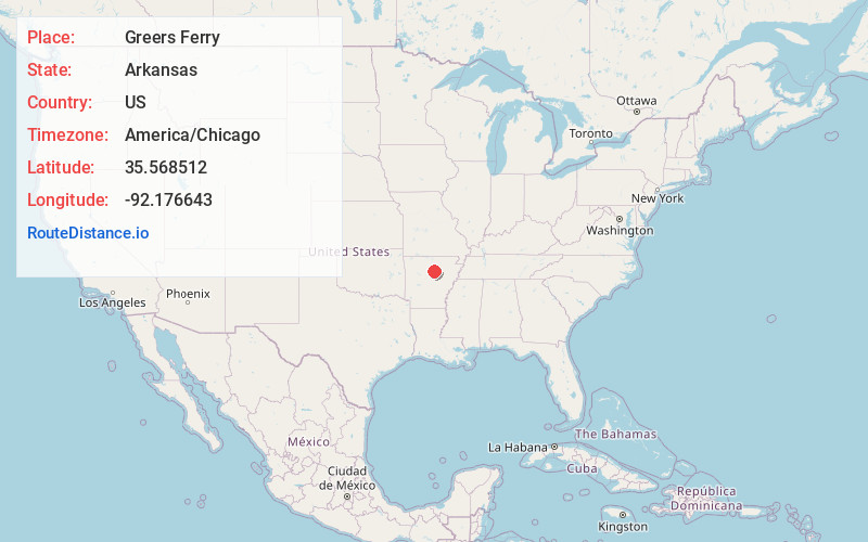
Full AddressGreers Ferry, AR 72067
-
Coordinates35.5685117, -92.1766428
-
LocationGreers Ferry , Arkansas , US
-
TimezoneAmerica/Chicago
-
Current Local Time2:49:42 PM America/ChicagoTuesday, June 17, 2025
-
Page Views0
About Greers Ferry
Greers Ferry is a city in Cleburne County, Arkansas, United States. It was founded in 1968. The population was 821 as of the 2020 Census.


Nearby Places
Found 10 places within 50 miles

Fairfield Bay
5.7 mi
9.2 km
Fairfield Bay, AR
Get directions

Heber Springs
9.8 mi
15.8 km
Heber Springs, AR 72543
Get directions

Clinton
16.0 mi
25.7 km
Clinton, AR 72031
Get directions

Mountain View
21.0 mi
33.8 km
Mountain View, AR 72560
Get directions

Greenbrier
26.0 mi
41.8 km
Greenbrier, AR 72058
Get directions

Wooster
29.8 mi
48.0 km
Wooster, AR
Get directions

Southside
32.4 mi
52.1 km
Southside, AR 72501
Get directions

Batesville
33.1 mi
53.3 km
Batesville, AR 72501
Get directions

Vilonia
33.4 mi
53.8 km
Vilonia, AR 72173
Get directions

Searcy
33.4 mi
53.8 km
Searcy, AR
Get directions
Location Links
Local Weather
Weather Information
Coming soon!
Location Map
Static map view of Greers Ferry, Arkansas
Browse Places by Distance
Places within specific distances from Greers Ferry
Short Distances
Long Distances
Click any distance to see all places within that range from Greers Ferry. Distances shown in miles (1 mile ≈ 1.61 kilometers).