Distance to Griffins Mills, New York

Calculating Your Route
Just a moment while we process your request...
Location Information
-
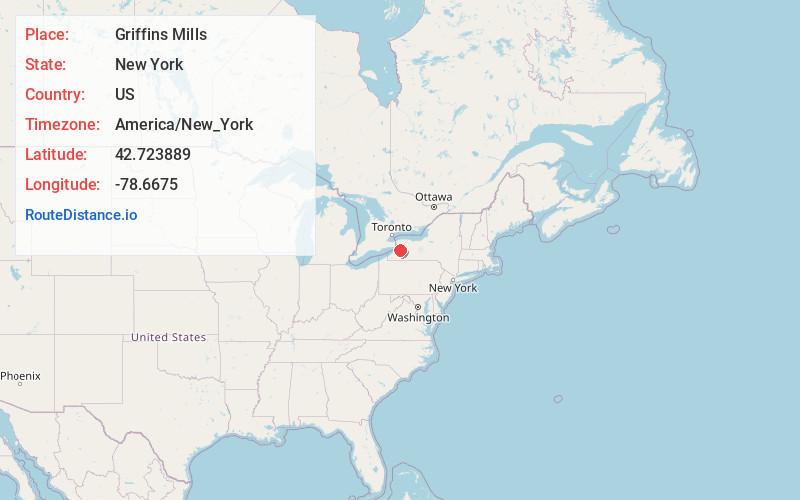
Full AddressGriffins Mills, NY 14170
-
Coordinates42.723889, -78.6675
-
LocationGriffins Mills , New York , US
-
TimezoneAmerica/New_York
-
Current Local Time3:05:58 PM America/New_YorkSaturday, June 21, 2025
-
Page Views0
About Griffins Mills
Griffins Mills is a hamlet in the town of Aurora in Erie County, New York, United States. It lies on the West Branch of Cazenovia Creek in the area once known as West Aurora. Griffins Mills was founded in the early 19th century at the site of a mill. It is located in zip code 14170.
Nearby Places
Found 10 places within 50 miles

Jewettville
0.7 mi
1.1 km
Jewettville, NY 14170
Get directions

West Falls
1.5 mi
2.4 km
West Falls, NY 14170
Get directions
Taylorshire
1.6 mi
2.6 km
Taylorshire, Aurora, NY 14052
Get directions
Loveland
1.7 mi
2.7 km
Loveland, Orchard Park, NY 14170
Get directions
Blakeley
3.7 mi
6.0 km
Blakeley, NY 14052
Get directions

East Aurora
4.1 mi
6.6 km
East Aurora, NY 14052
Get directions

Billington Heights
4.7 mi
7.6 km
Billington Heights, NY
Get directions
South Wales
4.7 mi
7.6 km
South Wales, NY 14139
Get directions

Orchard Park
4.9 mi
7.9 km
Orchard Park, NY 14127
Get directions
Colegrave
5.8 mi
9.3 km
Colegrave, Wales, NY 14139
Get directions
Location Links
Local Weather
Weather Information
Coming soon!
Location Map
Static map view of Griffins Mills, New York
Browse Places by Distance
Places within specific distances from Griffins Mills
Short Distances
Long Distances
Click any distance to see all places within that range from Griffins Mills. Distances shown in miles (1 mile ≈ 1.61 kilometers).