Distance to Griswold, Connecticut

Calculating Your Route
Just a moment while we process your request...
Location Information
-
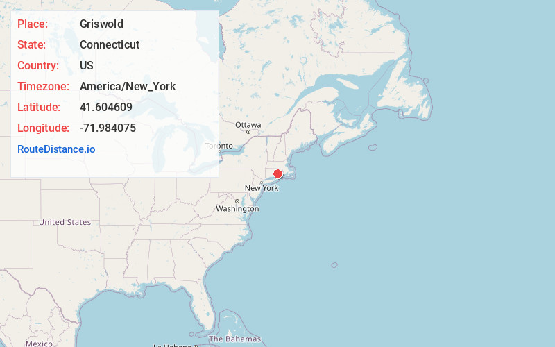
Full AddressGriswold, CT
-
Coordinates41.6046087, -71.9840753
-
LocationGriswold , Connecticut , US
-
TimezoneAmerica/New_York
-
Current Local Time3:32:04 AM America/New_YorkWednesday, June 18, 2025
-
Website
-
Page Views0
About Griswold
Griswold is a town in New London County, Connecticut, United States. The town is part of the Southeastern Connecticut Planning Region. The population was 11,402 at the 2020 census.


Nearby Places
Found 10 places within 50 miles

Pachaug
2.6 mi
4.2 km
Pachaug, Griswold, CT 06351
Get directions

Quinebaug Falls
4.5 mi
7.2 km
Quinebaug Falls, Preston, CT 06365
Get directions

Doaneville Pond
6.3 mi
10.1 km
Doaneville Pond, Connecticut
Get directions

Voluntown
6.4 mi
10.3 km
Voluntown, CT
Get directions

Norwich
7.3 mi
11.7 km
Norwich, CT
Get directions
Ekonk
7.6 mi
12.2 km
Ekonk, Sterling, CT 06354
Get directions
Shewville
8.0 mi
12.9 km
Shewville, Preston, CT 06365
Get directions

Scotland
8.2 mi
13.2 km
Scotland, CT
Get directions
Hallville Pond
8.2 mi
13.2 km
Hallville Pond, Preston, CT 06365
Get directions

Poquetanuck Cove
9.7 mi
15.6 km
Poquetanuck Cove, Connecticut
Get directions
Location Links
Local Weather
Weather Information
Coming soon!
Location Map
Static map view of Griswold, Connecticut
Browse Places by Distance
Places within specific distances from Griswold
Short Distances
Long Distances
Click any distance to see all places within that range from Griswold. Distances shown in miles (1 mile ≈ 1.61 kilometers).