Distance to Grouse Creek, Utah

Calculating Your Route
Just a moment while we process your request...
Location Information
-
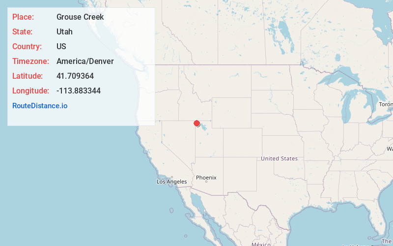
Full AddressGrouse Creek, UT 84313
-
Coordinates41.7093642, -113.8833441
-
LocationGrouse Creek , Utah , US
-
TimezoneAmerica/Denver
-
Current Local Time12:10:35 AM America/DenverFriday, June 13, 2025
-
Page Views0
About Grouse Creek
Grouse Creek is an unincorporated community in the nearly unpopulated northwestern region of Box Elder County, Utah, United States, near the Idaho and Nevada borders. The community lies along unpaved roads north of State Route 30 in the Grouse Creek Mountains. Its elevation is 5,331 feet.


Nearby Places
Found 6 places within 50 miles

Pigeon
26.4 mi
42.5 km
Pigeon, UT 84083
Get directions

Montello
34.6 mi
55.7 km
Montello, NV 89830
Get directions

Oakley
36.9 mi
59.4 km
Oakley, ID 83346
Get directions
Iversons
41.6 mi
66.9 km
Iversons, ID 83346
Get directions

Jackpot
44.8 mi
72.1 km
Jackpot, NV 89825
Get directions

Malta
49.0 mi
78.9 km
Malta, ID 83342
Get directions
Location Links
Local Weather
Weather Information
Coming soon!
Location Map
Static map view of Grouse Creek, Utah
Browse Places by Distance
Places within specific distances from Grouse Creek
Short Distances
Long Distances
Click any distance to see all places within that range from Grouse Creek. Distances shown in miles (1 mile ≈ 1.61 kilometers).