Distance to Grover, South Carolina

Calculating Your Route
Just a moment while we process your request...
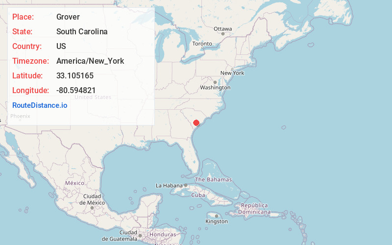
Location Information
-
Full AddressGrover, SC 29477
-
Coordinates33.1051646, -80.5948212
-
LocationGrover , South Carolina , US
-
TimezoneAmerica/New_York
-
Current Local Time10:51:28 AM America/New_YorkThursday, June 5, 2025
-
Page Views0
About Grover
Grover is an unincorporated community and census-designated place in Dorchester County, South Carolina, United States. It was first listed as a CDP in the 2020 census with a population of 297.
Its ZIP code is 29477.

Nearby Places
Found 10 places within 50 miles

St George
5.7 mi
9.2 km
St George, SC 29477
Get directions

Harleyville
11.4 mi
18.3 km
Harleyville, SC 29448
Get directions

Cottageville
13.4 mi
21.6 km
Cottageville, SC 29435
Get directions

Walterboro
14.4 mi
23.2 km
Walterboro, SC 29488
Get directions

Ridgeville
16.2 mi
26.1 km
Ridgeville, SC 29472
Get directions

Branchville
16.3 mi
26.2 km
Branchville, SC 29432
Get directions

Bowman
17.5 mi
28.2 km
Bowman, SC 29018
Get directions

Holly Hill
18.3 mi
29.5 km
Holly Hill, SC 29059
Get directions

Ehrhardt
24.3 mi
39.1 km
Ehrhardt, SC 29081
Get directions

Summerville
25.0 mi
40.2 km
Summerville, SC
Get directions
Location Links
Local Weather
Weather Information
Coming soon!
Location Map
Static map view of Grover, South Carolina
Browse Places by Distance
Places within specific distances from Grover
Short Distances
Long Distances
Click any distance to see all places within that range from Grover. Distances shown in miles (1 mile ≈ 1.61 kilometers).