Distance to Guilford, Florida

Calculating Your Route
Just a moment while we process your request...
Location Information
-
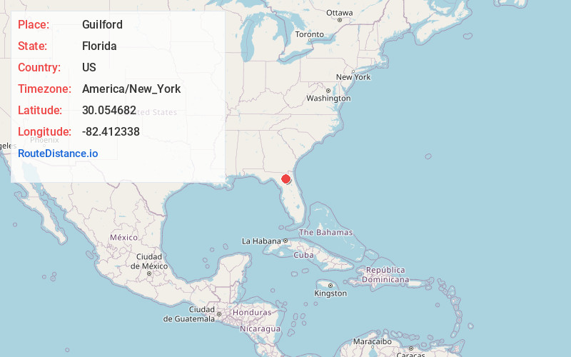
Full AddressGuilford, FL 32054
-
Coordinates30.0546823, -82.4123381
-
LocationFlorida , US
-
TimezoneAmerica/New_York
-
Current Local Time3:56:48 AM America/New_YorkWednesday, June 18, 2025
-
Page Views0
Nearby Places
Found 10 places within 50 miles

Danville
4.4 mi
7.1 km
Danville, FL 32054
Get directions

Lake Butler
4.9 mi
7.9 km
Lake Butler, FL 32054
Get directions
Dukes
6.1 mi
9.8 km
Dukes, FL 32054
Get directions
Browns Still
6.7 mi
10.8 km
Browns Still, FL 32054
Get directions
Miller
6.8 mi
10.9 km
Miller, FL 32054
Get directions
Johnstown
8.4 mi
13.5 km
Johnstown, FL 32054
Get directions
Worthington Springs
8.7 mi
14.0 km
Worthington Springs, FL
Get directions
Olustee
10.4 mi
16.7 km
Olustee, FL 32087
Get directions

Raiford
10.5 mi
16.9 km
Raiford, FL 32083
Get directions
Mt Carrie
11.1 mi
17.9 km
Mt Carrie, FL 32055
Get directions
Location Links
Local Weather
Weather Information
Coming soon!
Location Map
Static map view of Guilford, Florida
Browse Places by Distance
Places within specific distances from Guilford
Short Distances
Long Distances
Click any distance to see all places within that range from Guilford. Distances shown in miles (1 mile ≈ 1.61 kilometers).