Distance to Gulph Mills, Pennsylvania

Calculating Your Route
Just a moment while we process your request...
Location Information
-
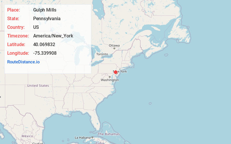
Full AddressGulph Mills, PA 19406
-
Coordinates40.0698316, -75.3399077
-
LocationGulph Mills , Pennsylvania , US
-
TimezoneAmerica/New_York
-
Current Local Time4:34:26 AM America/New_YorkSunday, June 8, 2025
-
Page Views0
About Gulph Mills
Gulph Mills is an unincorporated community that is located in Upper Merion Township, Montgomery County, Pennsylvania. It is served by the Upper Merion Area School District.
There is a station on the Norristown High Speed Line.


Nearby Places
Found 10 places within 50 miles

Hughes Park
1.2 mi
1.9 km
Hughes Park, King of Prussia, PA 19406
Get directions

West Conshohocken
1.2 mi
1.9 km
West Conshohocken, PA 19428
Get directions

Swedeland
1.3 mi
2.1 km
Swedeland, PA 19406
Get directions
Radnor
1.9 mi
3.1 km
Radnor, PA 19087
Get directions
Kings Manor
2.0 mi
3.2 km
Kings Manor, Upper Merion Township, PA 19406
Get directions
Shainline
2.1 mi
3.4 km
Shainline, Bridgeport, PA 19406
Get directions
Upper Merion Township
2.1 mi
3.4 km
Upper Merion Township, PA
Get directions
Mill Rd
2.2 mi
3.5 km
Mill Rd, Plymouth Township, PA 19428
Get directions
St. Augustine Center
2.2 mi
3.5 km
St. Augustine Center, Villanova, PA 19085
Get directions

Villanova
2.3 mi
3.7 km
Villanova, PA
Get directions
Location Links
Local Weather
Weather Information
Coming soon!
Location Map
Static map view of Gulph Mills, Pennsylvania
Browse Places by Distance
Places within specific distances from Gulph Mills
Short Distances
Long Distances
Click any distance to see all places within that range from Gulph Mills. Distances shown in miles (1 mile ≈ 1.61 kilometers).