Distance to Gum Tree, Kentucky

Calculating Your Route
Just a moment while we process your request...
Location Information
-
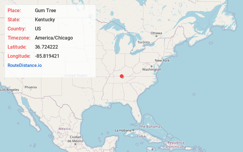
Full AddressGum Tree, KY 42167
-
Coordinates36.7242218, -85.8194206
-
LocationGum Tree , Kentucky , US
-
TimezoneAmerica/Chicago
-
Current Local Time8:18:17 AM America/ChicagoMonday, June 23, 2025
-
Page Views0
About Gum Tree
Gum Tree is an unincorporated community located in Monroe County, Kentucky, United States. It is concentrated around the intersection of Kentucky Route 678, Kentucky Route 870, and Kentucky Route 1366, northwest of Tompkinsville, north of Gamaliel, west of Mud Lick, Kentucky, and east of Flippin, Kentucky.
Nearby Places
Found 10 places within 50 miles

Jeffrey
2.2 mi
3.5 km
Jeffrey, KY 42157
Get directions
Mud Lick
2.9 mi
4.7 km
Mud Lick, KY 42167
Get directions
Lamb
5.0 mi
8.0 km
Lamb, KY 42167
Get directions
Mt Hermon
5.7 mi
9.2 km
Mt Hermon, KY 42157
Get directions
Gamaliel
6.0 mi
9.7 km
Gamaliel, KY 42140
Get directions

Tompkinsville
7.2 mi
11.6 km
Tompkinsville, KY 42167
Get directions
Bugtussle
7.5 mi
12.1 km
Bugtussle, KY 42140
Get directions
Fountain Run
7.7 mi
12.4 km
Fountain Run, KY 42133
Get directions
Akersville
8.3 mi
13.4 km
Akersville, KY 42133
Get directions
Dry Fork
8.6 mi
13.8 km
Dry Fork, KY 42123
Get directions
Location Links
Local Weather
Weather Information
Coming soon!
Location Map
Static map view of Gum Tree, Kentucky
Browse Places by Distance
Places within specific distances from Gum Tree
Short Distances
Long Distances
Click any distance to see all places within that range from Gum Tree. Distances shown in miles (1 mile ≈ 1.61 kilometers).