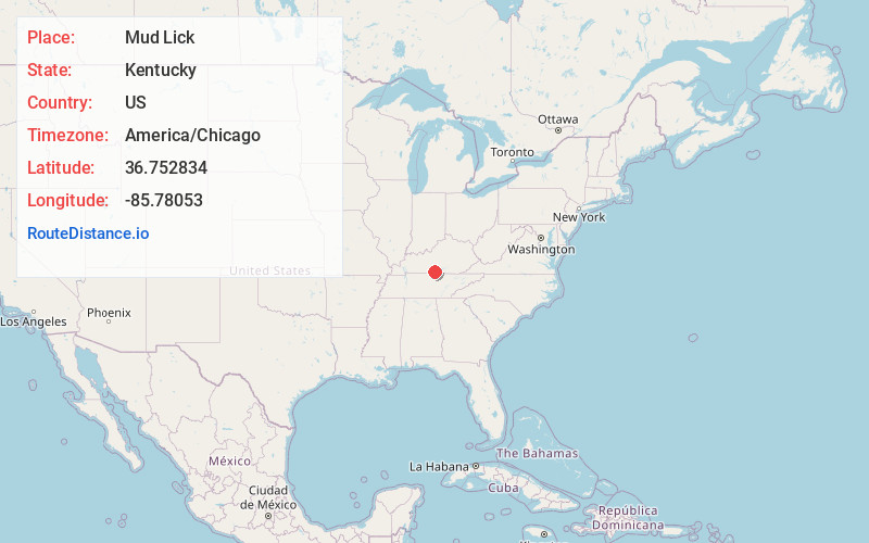
Distance to Mud Lick, Kentucky

Calculating Your Route
Just a moment while we process your request...
Location Information
-
Full AddressMud Lick, KY 42167
-
Coordinates36.7528335, -85.7805304
-
LocationMud Lick , Kentucky , US
-
TimezoneAmerica/Chicago
-
Current Local Time7:02:22 AM America/ChicagoFriday, June 20, 2025
-
Page Views0
About Mud Lick
Mud Lick is a rural unincorporated community in Monroe County, Kentucky, United States. It is concentrated around the intersection of Kentucky Route 63 and Kentucky Route 870, northwest of Tompkinsville.
Nearby Places
Found 10 places within 50 miles

Tompkinsville
6.0 mi
9.7 km
Tompkinsville, KY 42167
Get directions

Gamaliel
7.9 mi
12.7 km
Gamaliel, KY 42140
Get directions
Etoile
8.7 mi
14.0 km
Etoile, KY 42131
Get directions

Summer Shade
10.0 mi
16.1 km
Summer Shade, KY 42166
Get directions
Fountain Run
10.1 mi
16.3 km
Fountain Run, KY 42133
Get directions
Hestand
10.8 mi
17.4 km
Hestand, KY 42167
Get directions
Akersville
11.2 mi
18.0 km
Akersville, KY 42133
Get directions
Eighty Eight
11.4 mi
18.3 km
Eighty Eight, KY 42130
Get directions
Walnut Shade
12.6 mi
20.3 km
Walnut Shade, TN 37150
Get directions
Kino
13.5 mi
21.7 km
Kino, KY 42141
Get directions
Location Links
Local Weather
Weather Information
Coming soon!
Location Map
Static map view of Mud Lick, Kentucky
Browse Places by Distance
Places within specific distances from Mud Lick
Short Distances
Long Distances
Click any distance to see all places within that range from Mud Lick. Distances shown in miles (1 mile ≈ 1.61 kilometers).