Distance to Gunstock Mountain Resort, New Hampshire

Calculating Your Route
Just a moment while we process your request...
Location Information
-
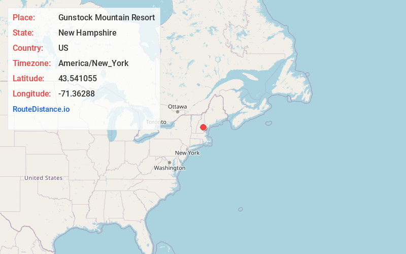
Full AddressGunstock Mountain Resort, 719 Cherry Valley Rd, Gilford, NH 03249
-
Coordinates43.5410554, -71.3628798
-
Street719 Cherry Valley Rd
-
LocationGilford , New Hampshire , US
-
TimezoneAmerica/New_York
-
Current Local Time3:34:45 PM America/New_YorkSaturday, May 31, 2025
-
Website
-
Page Views0
About Gunstock Mountain Resort
Family-friendly ski & snowboard area also offering Nordic terrain, a mountain coaster & tubing.


Nearby Places
Found 10 places within 50 miles

Gilford
3.1 mi
5.0 km
Gilford, NH 03249
Get directions

Laconia
5.5 mi
8.9 km
Laconia, NH
Get directions

Lake Winnisquam
6.9 mi
11.1 km
Lake Winnisquam, New Hampshire
Get directions

Bear Island
7.0 mi
11.3 km
Bear Island, Meredith, NH 03253
Get directions

Lake Winnipesaukee
7.6 mi
12.2 km
Lake Winnipesaukee, New Hampshire
Get directions

Wolfeboro
8.2 mi
13.2 km
Wolfeboro, NH
Get directions

Gilmanton
8.4 mi
13.5 km
Gilmanton, NH
Get directions

Belmont
8.8 mi
14.2 km
Belmont, NH 03220
Get directions

South Wolfeboro Bay
9.0 mi
14.5 km
South Wolfeboro Bay, Wolfeboro, NH 03894
Get directions
East Tilton
9.8 mi
15.8 km
East Tilton, Tilton, NH 03276
Get directions
Location Links
Local Weather
Weather Information
Coming soon!
Location Map
Static map view of Gunstock Mountain Resort, New Hampshire
Browse Places by Distance
Places within specific distances from Gunstock Mountain Resort
Short Distances
Long Distances
Click any distance to see all places within that range from Gunstock Mountain Resort. Distances shown in miles (1 mile ≈ 1.61 kilometers).