Distance to Gupton, North Carolina

Calculating Your Route
Just a moment while we process your request...
Location Information
-
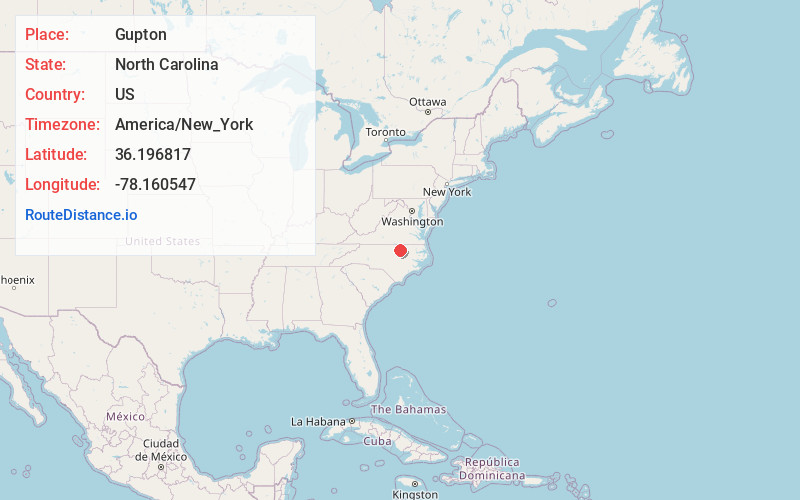
Full AddressGupton, NC 27549
-
Coordinates36.1968165, -78.1605469
-
LocationNorth Carolina , US
-
TimezoneAmerica/New_York
-
Current Local Time5:21:50 PM America/New_YorkTuesday, June 17, 2025
-
Page Views0
About Gupton
Gupton is an unincorporated community in Franklin County, North Carolina, United States.
Gupton is located approximately eight miles east-northeast of Ingleside, off North Carolina Highway 561.
Nearby Places
Found 10 places within 50 miles

Gold Sand
0.8 mi
1.3 km
Gold Sand, NC 27549
Get directions
Centerville
3.2 mi
5.1 km
Centerville, NC 27549
Get directions
Lickskillet
4.4 mi
7.1 km
Lickskillet, NC 27589
Get directions
Moulton
5.4 mi
8.7 km
Moulton, NC 27549
Get directions
Wood
5.7 mi
9.2 km
Wood, NC 27549
Get directions
Kearney
6.6 mi
10.6 km
Kearney, NC 27549
Get directions
Stallings Crossroads
7.1 mi
11.4 km
Stallings Crossroads, NC 27549
Get directions
Parktown
8.1 mi
13.0 km
Parktown, NC 27589
Get directions
Elberon
8.7 mi
14.0 km
Elberon, NC 27563
Get directions
Castalia
9.8 mi
15.8 km
Castalia, NC 27816
Get directions
Location Links
Local Weather
Weather Information
Coming soon!
Location Map
Static map view of Gupton, North Carolina
Browse Places by Distance
Places within specific distances from Gupton
Short Distances
Long Distances
Click any distance to see all places within that range from Gupton. Distances shown in miles (1 mile ≈ 1.61 kilometers).