Distance to and from Moulton, North Carolina
Moulton, NC 27549
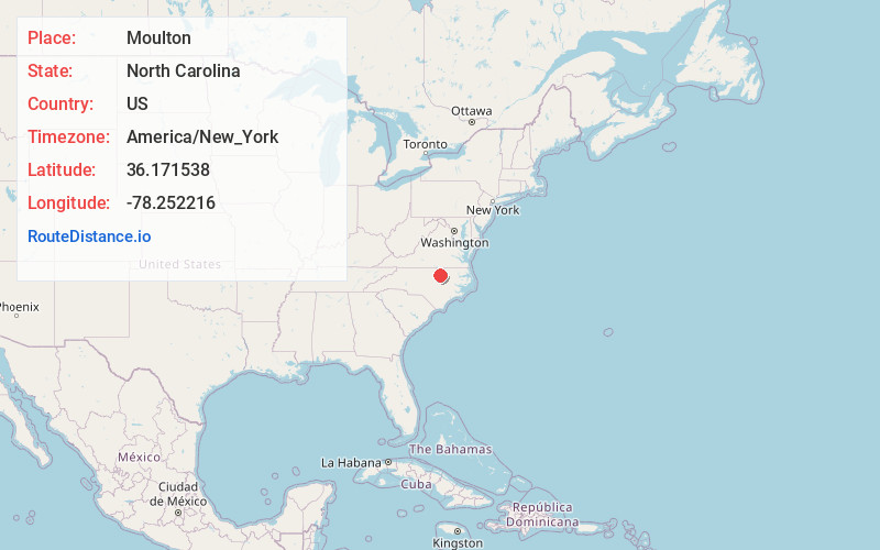
Moulton
North Carolina
US
America/New_York
Location Information
-
Full AddressMoulton, NC 27549
-
Coordinates36.1715384, -78.2522159
-
LocationMoulton , North Carolina , US
-
TimezoneAmerica/New_York
-
Current Local Time10:54:46 AM America/New_YorkSaturday, May 3, 2025
-
Page Views0
Directions to Nearest Cities
About Moulton
Moulton is an unincorporated community in north central Franklin County, North Carolina, United States.
It is located at the intersection of Moulton Road and Trinity Church Road, north-northeast of Louisburg, at an elevation of 404 feet.
Nearby Places
Found 10 places within 50 miles

Louisburg
5.7 mi
9.2 km
Louisburg, NC 27549
Get directions

Epsom
6.6 mi
10.6 km
Epsom, NC 27537
Get directions
Centerville
8.2 mi
13.2 km
Centerville, NC 27549
Get directions
Bobbitt
8.7 mi
14.0 km
Bobbitt, NC 27544
Get directions
Weldons Mill
9.1 mi
14.6 km
Weldons Mill, NC 27537
Get directions
Vicksboro
9.4 mi
15.1 km
Vicksboro, NC 27563
Get directions
Gillburg
9.7 mi
15.6 km
Gillburg, NC 27537
Get directions
Elberon
10.0 mi
16.1 km
Elberon, NC 27563
Get directions
Gill
10.9 mi
17.5 km
Gill, NC 27537
Get directions

Kittrell
10.9 mi
17.5 km
Kittrell, NC 27544
Get directions
Louisburg
5.7 mi
9.2 km
Louisburg, NC 27549
Epsom
6.6 mi
10.6 km
Epsom, NC 27537
Centerville
8.2 mi
13.2 km
Centerville, NC 27549
Bobbitt
8.7 mi
14.0 km
Bobbitt, NC 27544
Weldons Mill
9.1 mi
14.6 km
Weldons Mill, NC 27537
Vicksboro
9.4 mi
15.1 km
Vicksboro, NC 27563
Gillburg
9.7 mi
15.6 km
Gillburg, NC 27537
Elberon
10.0 mi
16.1 km
Elberon, NC 27563
Gill
10.9 mi
17.5 km
Gill, NC 27537
Kittrell
10.9 mi
17.5 km
Kittrell, NC 27544
Location Links
Local Weather
Weather Information
Coming soon!
Location Map
Static map view of Moulton, North Carolina
Browse Places by Distance
Places within specific distances from Moulton
Short Distances
Long Distances
Click any distance to see all places within that range from Moulton. Distances shown in miles (1 mile ≈ 1.61 kilometers).