Distance to Hackberry, Arizona

Calculating Your Route
Just a moment while we process your request...
Location Information
-
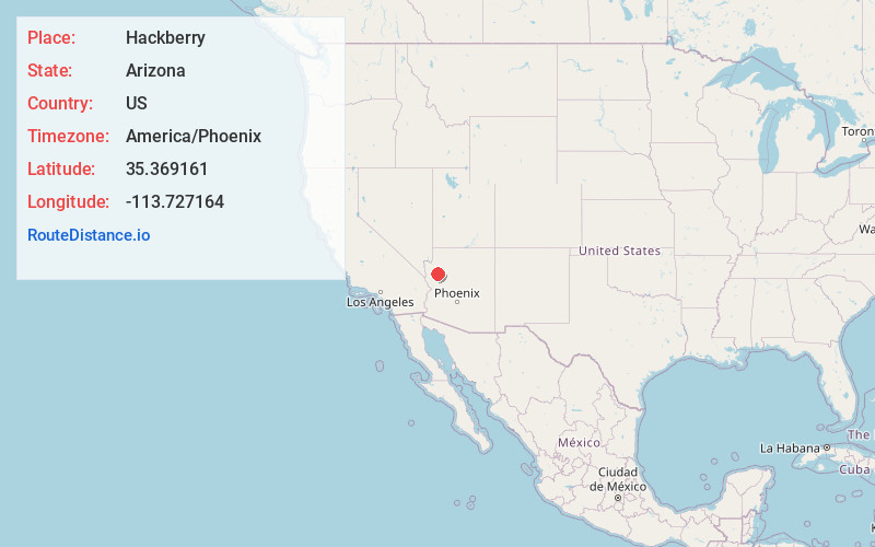
Full AddressHackberry, AZ 86411
-
Coordinates35.3691614, -113.7271643
-
LocationHackberry , Arizona , US
-
TimezoneAmerica/Phoenix
-
Current Local Time2:14:16 PM America/PhoenixFriday, June 20, 2025
-
Page Views0
About Hackberry
Hackberry is an unincorporated community and census-designated place in Mohave County, Arizona, United States. It is located on State Route 66 28 miles northeast of Kingman. Hackberry has a post office which as of 2015 served 68 residential mailboxes with ZIP code 86411.


Nearby Places
Found 9 places within 50 miles

New Kingman-Butler
18.1 mi
29.1 km
New Kingman-Butler, AZ 86409
Get directions

Peach Springs
20.3 mi
32.7 km
Peach Springs, AZ 86434
Get directions

Kingman
22.1 mi
35.6 km
Kingman, AZ
Get directions

Golden Valley
29.7 mi
47.8 km
Golden Valley, AZ 86413
Get directions

Dolan Springs
34.3 mi
55.2 km
Dolan Springs, AZ 86441
Get directions

Meadview
47.7 mi
76.8 km
Meadview, AZ 86444
Get directions

Seligman
48.0 mi
77.2 km
Seligman, AZ 86337
Get directions

Bullhead City
48.0 mi
77.2 km
Bullhead City, AZ
Get directions

Laughlin
49.7 mi
80.0 km
Laughlin, NV 89029
Get directions
Location Links
Local Weather
Weather Information
Coming soon!
Location Map
Static map view of Hackberry, Arizona
Browse Places by Distance
Places within specific distances from Hackberry
Short Distances
Long Distances
Click any distance to see all places within that range from Hackberry. Distances shown in miles (1 mile ≈ 1.61 kilometers).