Distance to Dolan Springs, Arizona

Calculating Your Route
Just a moment while we process your request...
Location Information
-
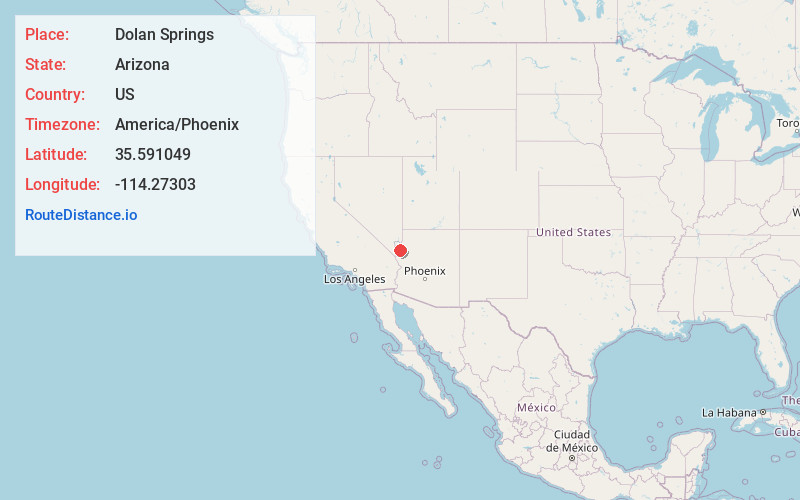
Full AddressDolan Springs, AZ 86441
-
Coordinates35.5910486, -114.2730295
-
LocationDolan Springs , Arizona , US
-
TimezoneAmerica/Phoenix
-
Current Local Time7:07:02 AM America/PhoenixSaturday, June 21, 2025
-
Page Views0
About Dolan Springs
Dolan Springs is an unincorporated community and census-designated place in Mohave County, Arizona, United States. The population was 1,989 at the 2020 census, down from 2,033 at the 2010 census.


Nearby Places
Found 10 places within 50 miles

Golden Valley
25.6 mi
41.2 km
Golden Valley, AZ 86413
Get directions

New Kingman-Butler
27.0 mi
43.5 km
New Kingman-Butler, AZ 86409
Get directions

Kingman
30.3 mi
48.8 km
Kingman, AZ
Get directions

Meadview
30.6 mi
49.2 km
Meadview, AZ 86444
Get directions

Laughlin
33.8 mi
54.4 km
Laughlin, NV 89029
Get directions

Bullhead City
34.6 mi
55.7 km
Bullhead City, AZ
Get directions

Boulder City
41.3 mi
66.5 km
Boulder City, NV
Get directions

Fort Mohave
43.1 mi
69.4 km
Fort Mohave, AZ
Get directions

Peach Springs
47.8 mi
76.9 km
Peach Springs, AZ 86434
Get directions

Mohave Valley
48.8 mi
78.5 km
Mohave Valley, AZ 86440
Get directions
Location Links
Local Weather
Weather Information
Coming soon!
Location Map
Static map view of Dolan Springs, Arizona
Browse Places by Distance
Places within specific distances from Dolan Springs
Short Distances
Long Distances
Click any distance to see all places within that range from Dolan Springs. Distances shown in miles (1 mile ≈ 1.61 kilometers).