Distance to Hackneyville, Alabama

Calculating Your Route
Just a moment while we process your request...
Location Information
-
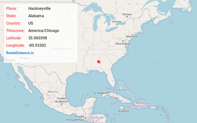
Full AddressHackneyville, AL 35010
-
Coordinates33.0603977, -85.9330202
-
LocationHackneyville , Alabama , US
-
TimezoneAmerica/Chicago
-
Current Local Time10:10:02 PM America/ChicagoMonday, June 9, 2025
-
Page Views0
About Hackneyville
Hackneyville is a census-designated place and unincorporated community in Tallapoosa County, Alabama, United States. Its population was 347 as of the 2010 census.
Nearby Places
Found 10 places within 50 miles

Goodwater
7.0 mi
11.3 km
Goodwater, AL 35072
Get directions

Alexander City
8.1 mi
13.0 km
Alexander City, AL
Get directions

New Site
9.3 mi
15.0 km
New Site, AL
Get directions

Ashland
15.8 mi
25.4 km
Ashland, AL 36251
Get directions

Our Town
16.2 mi
26.1 km
Our Town, AL 35010
Get directions
Stewartville
18.1 mi
29.1 km
Stewartville, AL
Get directions

Dadeville
18.6 mi
29.9 km
Dadeville, AL
Get directions

Sylacauga
20.0 mi
32.2 km
Sylacauga, AL
Get directions

Lineville
20.1 mi
32.3 km
Lineville, AL
Get directions
Rockford
20.4 mi
32.8 km
Rockford, AL 35136
Get directions
Location Links
Local Weather
Weather Information
Coming soon!
Location Map
Static map view of Hackneyville, Alabama
Browse Places by Distance
Places within specific distances from Hackneyville
Short Distances
Long Distances
Click any distance to see all places within that range from Hackneyville. Distances shown in miles (1 mile ≈ 1.61 kilometers).