Distance to Sylacauga, Alabama

Calculating Your Route
Just a moment while we process your request...
Location Information
-
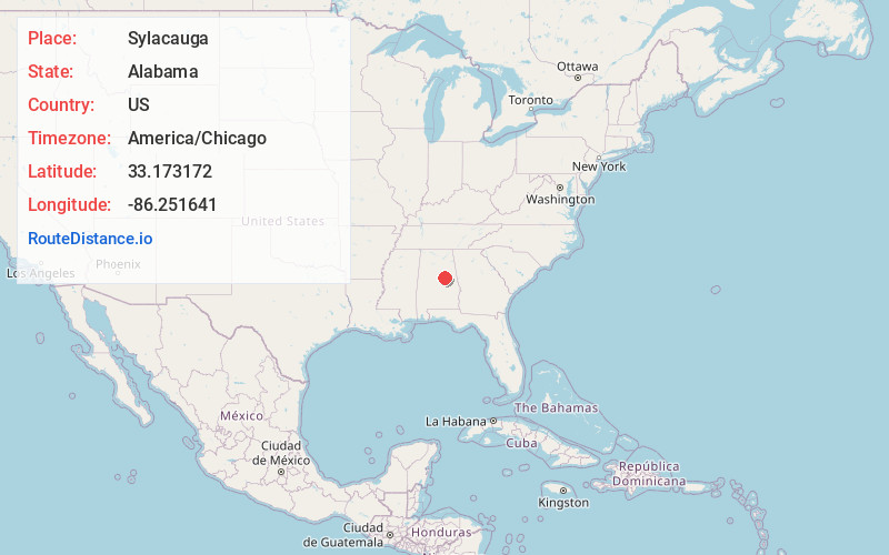
Full AddressSylacauga, AL
-
Coordinates33.1731716, -86.2516406
-
LocationSylacauga , Alabama , US
-
TimezoneAmerica/Chicago
-
Current Local Time12:15:27 AM America/ChicagoWednesday, June 25, 2025
-
Website
-
Page Views0
About Sylacauga
Sylacauga is a city in Talladega County, Alabama, United States. At the 2020 census, the population was 12,578.
Sylacauga is known for its fine white marble bedrock. This was discovered shortly after settlers moved into the area and has been quarried ever since.


Nearby Places
Found 10 places within 50 miles

Talladega
20.0 mi
32.2 km
Talladega, AL 35160
Get directions

Alexander City
23.4 mi
37.7 km
Alexander City, AL
Get directions

Chelsea
24.7 mi
39.8 km
Chelsea, AL
Get directions

Pell City
28.6 mi
46.0 km
Pell City, AL
Get directions

Calera
29.4 mi
47.3 km
Calera, AL
Get directions

Moody
32.0 mi
51.5 km
Moody, AL
Get directions

Alabaster
33.0 mi
53.1 km
Alabaster, AL
Get directions

Pelham
33.2 mi
53.4 km
Pelham, AL
Get directions

Helena
35.3 mi
56.8 km
Helena, AL
Get directions

Hoover
36.1 mi
58.1 km
Hoover, AL
Get directions
Location Links
Local Weather
Weather Information
Coming soon!
Location Map
Static map view of Sylacauga, Alabama
Browse Places by Distance
Places within specific distances from Sylacauga
Short Distances
Long Distances
Click any distance to see all places within that range from Sylacauga. Distances shown in miles (1 mile ≈ 1.61 kilometers).