Distance to Pelham, Alabama

Calculating Your Route
Just a moment while we process your request...
Location Information
-
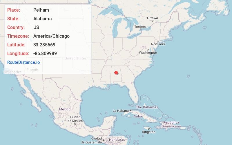
Full AddressPelham, AL
-
Coordinates33.2856687, -86.8099885
-
LocationPelham , Alabama , US
-
TimezoneAmerica/Chicago
-
Current Local Time6:20:24 AM America/ChicagoTuesday, June 10, 2025
-
Website
-
Page Views0
About Pelham
Pelham is a laid-back neighborhood known for Oak Mountain State Park, with its hiking and mountain biking trails, as well as lake swimming, fishing, and water sports. Big-name rock and country bands play the open-air Oak Mountain Amphitheatre. Interstate 65 and Highway 31, which run through the area, are dotted with large chain stores and restaurants, plus some quaint cafes and comfort food spots.


Nearby Places
Found 9 places within 50 miles

Alabaster
2.9 mi
4.7 km
Alabaster, AL
Get directions

Hoover
8.3 mi
13.4 km
Hoover, AL
Get directions

Vestavia Hills
11.3 mi
18.2 km
Vestavia Hills, AL
Get directions

Bessemer
11.6 mi
18.7 km
Bessemer, AL
Get directions

Homewood
12.9 mi
20.8 km
Homewood, AL
Get directions

Birmingham
16.1 mi
25.9 km
Birmingham, AL
Get directions

Trussville
25.8 mi
41.5 km
Trussville, AL
Get directions

Tuscaloosa
44.0 mi
70.8 km
Tuscaloosa, AL
Get directions

Northport
44.5 mi
71.6 km
Northport, AL
Get directions
Location Links
Local Weather
Weather Information
Coming soon!
Location Map
Static map view of Pelham, Alabama
Browse Places by Distance
Places within specific distances from Pelham
Short Distances
Long Distances
Click any distance to see all places within that range from Pelham. Distances shown in miles (1 mile ≈ 1.61 kilometers).