Distance to Hageman, Ohio

Calculating Your Route
Just a moment while we process your request...
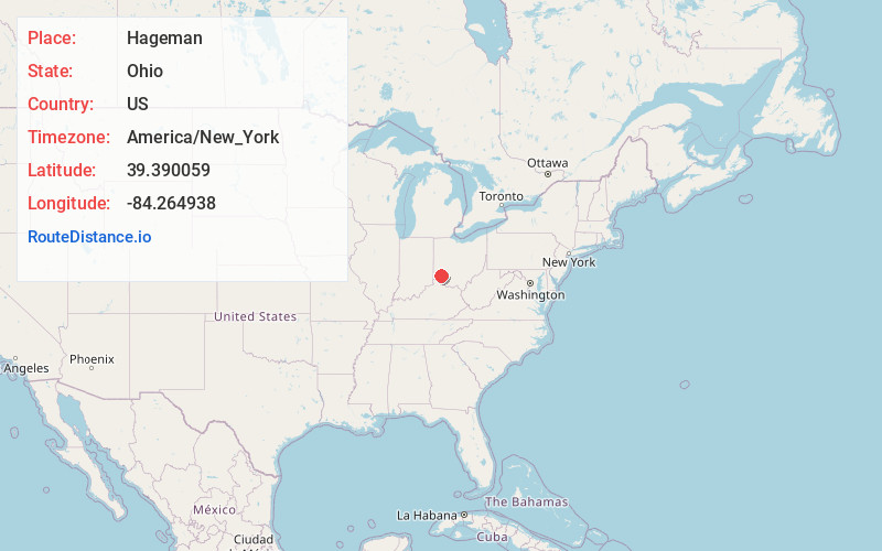
Location Information
-
Full AddressHageman, Union Township, OH 45036
-
Coordinates39.3900589, -84.2649379
-
LocationUnion Township , Ohio , US
-
TimezoneAmerica/New_York
-
Current Local Time1:14:08 AM America/New_YorkWednesday, June 25, 2025
-
Page Views0
About Hageman
Hagemans Crossing is an unincorporated community in Union Township, Warren County, Ohio, United States. Located in the western part of the township, it is located on the old Cincinnati and Xenia Pike, now U.S. Route 42, about halfway between Lebanon and Mason.
Nearby Places
Found 10 places within 50 miles

Kings Mills
2.5 mi
4.0 km
Kings Mills, OH
Get directions

South Lebanon
3.1 mi
5.0 km
South Lebanon, OH
Get directions

Mason
3.2 mi
5.1 km
Mason, OH
Get directions

Hopkinsville
4.3 mi
6.9 km
Hopkinsville, OH 45039
Get directions

Lebanon
4.6 mi
7.4 km
Lebanon, OH 45036
Get directions
Four Bridges
4.7 mi
7.6 km
Four Bridges, OH
Get directions

Landen
5.5 mi
8.9 km
Landen, OH
Get directions

Maineville
5.7 mi
9.2 km
Maineville, OH
Get directions

Loveland Park
6.2 mi
10.0 km
Loveland Park, OH
Get directions
Wetherington
6.3 mi
10.1 km
Wetherington, OH 45069
Get directions
Location Links
Local Weather
Weather Information
Coming soon!
Location Map
Static map view of Hageman, Ohio
Browse Places by Distance
Places within specific distances from Hageman
Short Distances
Long Distances
Click any distance to see all places within that range from Hageman. Distances shown in miles (1 mile ≈ 1.61 kilometers).