Distance to Landen, Ohio

Calculating Your Route
Just a moment while we process your request...
Location Information
-
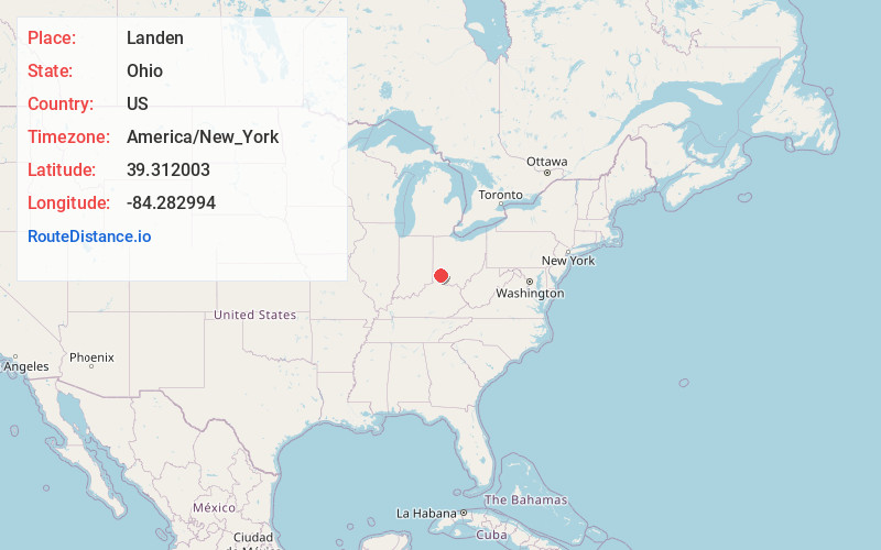
Full AddressLanden, OH
-
Coordinates39.3120031, -84.2829935
-
LocationLanden , Ohio , US
-
TimezoneAmerica/New_York
-
Current Local Time4:56:34 PM America/New_YorkWednesday, May 21, 2025
-
Page Views0
About Landen
Landen is a middle-class, real estate developer-created census-designated place in Deerfield Township, Warren County, Ohio, United States. The population was 6,995 at the 2020 census. It is located around Columbia Road and Montgomery Road in the southeastern part of the township.

Nearby Places
Found 10 places within 50 miles

Loveland
3.1 mi
5.0 km
Loveland, OH 45140
Get directions

Mason
3.6 mi
5.8 km
Mason, OH
Get directions

Montgomery
6.9 mi
11.1 km
Montgomery, OH
Get directions

Blue Ash
7.5 mi
12.1 km
Blue Ash, OH
Get directions

Sharonville
7.6 mi
12.2 km
Sharonville, OH
Get directions

Beckett Ridge
8.5 mi
13.7 km
Beckett Ridge, OH 45069
Get directions

Lebanon
9.5 mi
15.3 km
Lebanon, OH 45036
Get directions

Monroe
10.1 mi
16.3 km
Monroe, OH
Get directions

Reading
10.5 mi
16.9 km
Reading, OH
Get directions

Springdale
11.0 mi
17.7 km
Springdale, OH
Get directions
Location Links
Local Weather
Weather Information
Coming soon!
Location Map
Static map view of Landen, Ohio
Browse Places by Distance
Places within specific distances from Landen
Short Distances
Long Distances
Click any distance to see all places within that range from Landen. Distances shown in miles (1 mile ≈ 1.61 kilometers).