Distance to Haglund, Indiana

Calculating Your Route
Just a moment while we process your request...
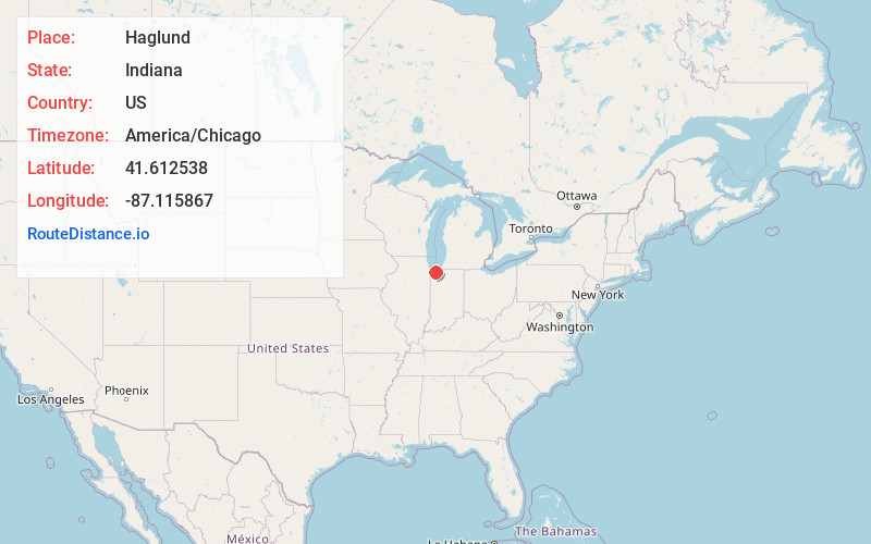
Location Information
-
Full AddressHaglund, Burns Harbor, IN 46304
-
Coordinates41.6125377, -87.115867
-
LocationBurns Harbor , Indiana , US
-
TimezoneAmerica/Chicago
-
Current Local Time10:25:44 PM America/ChicagoThursday, June 19, 2025
-
Page Views0
Nearby Places
Found 10 places within 50 miles

Burns Harbor
1.3 mi
2.1 km
Burns Harbor, IN
Get directions

Chesterton
2.7 mi
4.3 km
Chesterton, IN 46304
Get directions

Dune Acres
3.0 mi
4.8 km
Dune Acres, IN 46304
Get directions

Ogden Dunes
4.0 mi
6.4 km
Ogden Dunes, IN
Get directions

Portage
4.0 mi
6.4 km
Portage, IN
Get directions

Indiana Dunes National Park
4.3 mi
6.9 km
Indiana Dunes National Park, Porter, IN 46304
Get directions

Graham Woods
4.6 mi
7.4 km
Graham Woods, Westchester Township, IN 46304
Get directions

South Haven
5.0 mi
8.0 km
South Haven, IN 46385
Get directions
Brummitt Acres
5.1 mi
8.2 km
Brummitt Acres, Westchester Township, IN 46304
Get directions
Tratebas Mill
6.1 mi
9.8 km
Tratebas Mill, Jackson Township, IN 46304
Get directions
Location Links
Local Weather
Weather Information
Coming soon!
Location Map
Static map view of Haglund, Indiana
Browse Places by Distance
Places within specific distances from Haglund
Short Distances
Long Distances
Click any distance to see all places within that range from Haglund. Distances shown in miles (1 mile ≈ 1.61 kilometers).