Distance to Hail, Kentucky

Calculating Your Route
Just a moment while we process your request...
Location Information
-
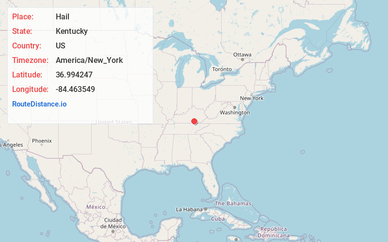
Full AddressHail, KY 42501
-
Coordinates36.9942465, -84.4635493
-
LocationKentucky , US
-
TimezoneAmerica/New_York
-
Current Local Time9:42:15 AM America/New_YorkTuesday, June 24, 2025
-
Page Views0
Nearby Places
Found 10 places within 50 miles

Poplarville
2.5 mi
4.0 km
Poplarville, KY 42501
Get directions
Meece
3.4 mi
5.5 km
Meece, KY 42501
Get directions
Colo
3.7 mi
6.0 km
Colo, KY 42501
Get directions
Omega
3.8 mi
6.1 km
Omega, KY 42501
Get directions
Bauer
4.4 mi
7.1 km
Bauer, KY 42519
Get directions
Blue John
4.6 mi
7.4 km
Blue John, KY 42519
Get directions
Mt Victory
4.9 mi
7.9 km
Mt Victory, KY 42501
Get directions
Dykes
5.3 mi
8.5 km
Dykes, KY 42501
Get directions
Sloans Valley
5.7 mi
9.2 km
Sloans Valley, KY 42519
Get directions
Alpine
5.7 mi
9.2 km
Alpine, KY 42519
Get directions
Location Links
Local Weather
Weather Information
Coming soon!
Location Map
Static map view of Hail, Kentucky
Browse Places by Distance
Places within specific distances from Hail
Short Distances
Long Distances
Click any distance to see all places within that range from Hail. Distances shown in miles (1 mile ≈ 1.61 kilometers).