Distance to Haines, Pennsylvania

Calculating Your Route
Just a moment while we process your request...
Location Information
-
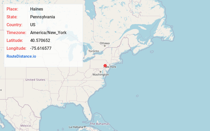
Full AddressHaines, Upper Macungie Township, PA 18106
-
Coordinates40.5706516, -75.6165766
-
LocationUpper Macungie Township , Pennsylvania , US
-
TimezoneAmerica/New_York
-
Current Local Time6:10:30 PM America/New_YorkThursday, June 19, 2025
-
Page Views0
Nearby Places
Found 10 places within 50 miles

Upper Macungie Township
0.8 mi
1.3 km
Upper Macungie Township, PA
Get directions

Breinigsville
2.3 mi
3.7 km
Breinigsville, PA 18031
Get directions

Ancient Oaks
3.0 mi
4.8 km
Ancient Oaks, PA 18062
Get directions

Wescosville
3.3 mi
5.3 km
Wescosville, PA
Get directions

Lower Macungie Township
3.5 mi
5.6 km
Lower Macungie Township, PA
Get directions

Alburtis
4.2 mi
6.8 km
Alburtis, PA 18011
Get directions
Maxatawny
4.3 mi
6.9 km
Maxatawny, PA
Get directions
Weisenberg Township
4.9 mi
7.9 km
Weisenberg Township, PA
Get directions

Macungie
5.0 mi
8.0 km
Macungie, PA 18062
Get directions
Dorneyville
5.1 mi
8.2 km
Dorneyville, PA 18103
Get directions
Location Links
Local Weather
Weather Information
Coming soon!
Location Map
Static map view of Haines, Pennsylvania
Browse Places by Distance
Places within specific distances from Haines
Short Distances
Long Distances
Click any distance to see all places within that range from Haines. Distances shown in miles (1 mile ≈ 1.61 kilometers).