Distance to Hale, Kansas

Calculating Your Route
Just a moment while we process your request...
Location Information
-
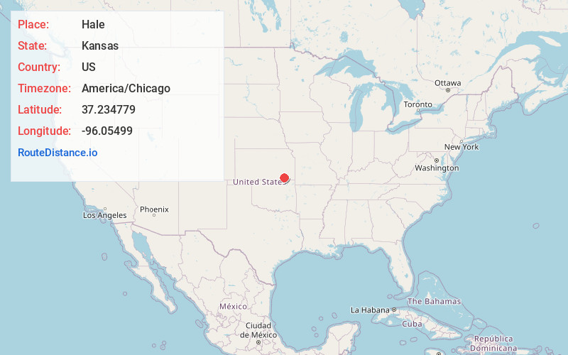
Full AddressHale, Salt Creek Township, KS 67344
-
Coordinates37.2347793, -96.0549896
-
LocationSalt Creek Township , Kansas , US
-
TimezoneAmerica/Chicago
-
Current Local Time11:55:38 PM America/ChicagoFriday, June 6, 2025
-
Page Views0
About Hale
Hale is an unincorporated community in Salt Creek Township, Chautauqua County, Kansas, United States.
Nearby Places
Found 10 places within 50 miles

Grafton
5.7 mi
9.2 km
Grafton, Lafayette Township, KS 67352
Get directions
Oak Valley
7.9 mi
12.7 km
Oak Valley, KS 67344
Get directions

Elk City
8.7 mi
14.0 km
Elk City, KS 67344
Get directions
Longton
10.0 mi
16.1 km
Longton, KS 67352
Get directions

Sedan
10.4 mi
16.7 km
Sedan, KS 67361
Get directions
Peru
10.9 mi
17.5 km
Peru, KS 67360
Get directions
Niotaze
11.4 mi
18.3 km
Niotaze, KS 67355
Get directions
Havana
11.7 mi
18.8 km
Havana, KS 67347
Get directions

Elk Falls
11.7 mi
18.8 km
Elk Falls, KS 67345
Get directions
Wayside
12.6 mi
20.3 km
Wayside, KS
Get directions
Location Links
Local Weather
Weather Information
Coming soon!
Location Map
Static map view of Hale, Kansas
Browse Places by Distance
Places within specific distances from Hale
Short Distances
Long Distances
Click any distance to see all places within that range from Hale. Distances shown in miles (1 mile ≈ 1.61 kilometers).