Distance to Havana, Kansas

Calculating Your Route
Just a moment while we process your request...
Location Information
-
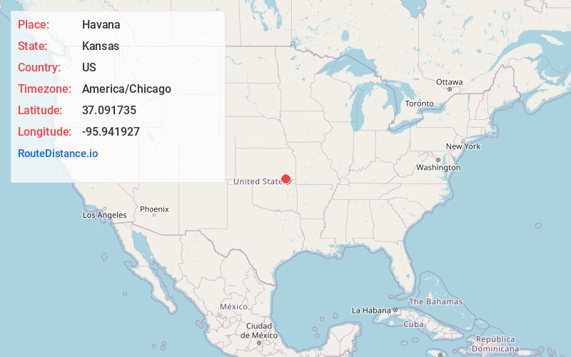
Full AddressHavana, KS 67347
-
Coordinates37.091735, -95.9419271
-
LocationHavana , Kansas , US
-
TimezoneAmerica/Chicago
-
Current Local Time5:03:54 PM America/ChicagoSunday, June 8, 2025
-
Page Views0
About Havana
Havana is a city in Montgomery County, Kansas, United States. As of the 2020 census, the population of the city was 84.
Nearby Places
Found 10 places within 50 miles

Niotaze
4.1 mi
6.6 km
Niotaze, KS 67355
Get directions

Caney
5.6 mi
9.0 km
Caney, KS 67333
Get directions

Tyro
7.6 mi
12.2 km
Tyro, KS
Get directions
Peru
8.7 mi
14.0 km
Peru, KS 67360
Get directions
Dearing
13.0 mi
20.9 km
Dearing, KS
Get directions

Copan
13.4 mi
21.6 km
Copan, OK 74022
Get directions

Sedan
13.7 mi
22.0 km
Sedan, KS 67361
Get directions

Elk City
13.7 mi
22.0 km
Elk City, KS 67344
Get directions

Wann
14.4 mi
23.2 km
Wann, OK 74083
Get directions

Independence
15.8 mi
25.4 km
Independence, KS 67301
Get directions
Location Links
Local Weather
Weather Information
Coming soon!
Location Map
Static map view of Havana, Kansas
Browse Places by Distance
Places within specific distances from Havana
Short Distances
Long Distances
Click any distance to see all places within that range from Havana. Distances shown in miles (1 mile ≈ 1.61 kilometers).