Distance to Caney, Kansas

Calculating Your Route
Just a moment while we process your request...
Location Information
-
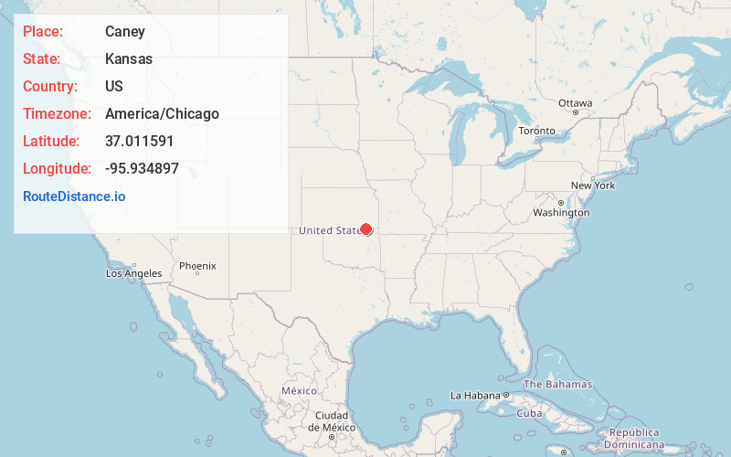
Full AddressCaney, KS 67333
-
Coordinates37.0115912, -95.9348966
-
LocationCaney , Kansas , US
-
TimezoneAmerica/Chicago
-
Current Local Time1:32:10 PM America/ChicagoWednesday, May 21, 2025
-
Page Views0
About Caney
Caney is a city in Montgomery County, Kansas, United States. As of the 2020 census, the population of the city was 1,788.


Nearby Places
Found 10 places within 50 miles

Dewey
14.9 mi
24.0 km
Dewey, OK
Get directions

Coffeyville
17.7 mi
28.5 km
Coffeyville, KS
Get directions

Bartlesville
18.5 mi
29.8 km
Bartlesville, OK
Get directions

Independence
19.3 mi
31.1 km
Independence, KS 67301
Get directions

Nowata
27.0 mi
43.5 km
Nowata, OK 74048
Get directions

Cherryvale
27.6 mi
44.4 km
Cherryvale, KS 67335
Get directions

Neodesha
31.4 mi
50.5 km
Neodesha, KS 66757
Get directions

Pawhuska
32.9 mi
52.9 km
Pawhuska, OK 74056
Get directions

Fredonia
36.6 mi
58.9 km
Fredonia, KS 66736
Get directions

Oologah
41.0 mi
66.0 km
Oologah, OK 74053
Get directions
Location Links
Local Weather
Weather Information
Coming soon!
Location Map
Static map view of Caney, Kansas
Browse Places by Distance
Places within specific distances from Caney
Short Distances
Long Distances
Click any distance to see all places within that range from Caney. Distances shown in miles (1 mile ≈ 1.61 kilometers).