Distance to Halfa, Iowa

Calculating Your Route
Just a moment while we process your request...
Location Information
-
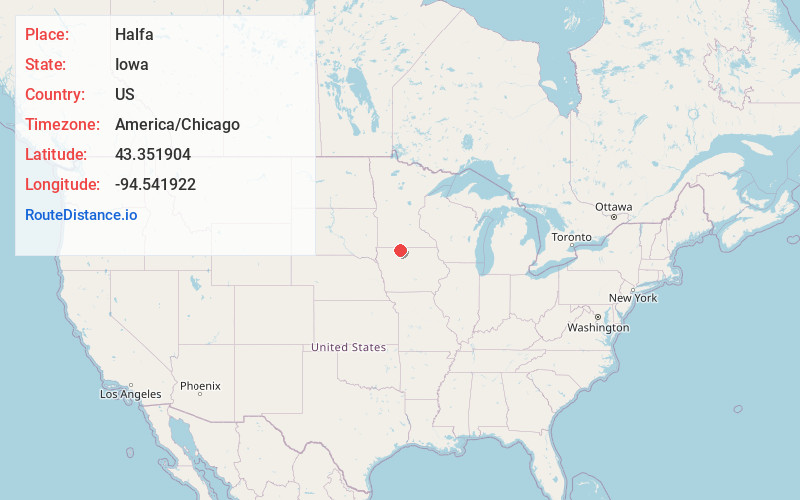
Full AddressHalfa, IA 50514
-
Coordinates43.3519039, -94.5419215
-
LocationIowa , US
-
TimezoneAmerica/Chicago
-
Current Local Time12:48:20 AM America/ChicagoSaturday, June 21, 2025
-
Page Views0
About Halfa
Halfa is an unincorporated community in Emmet County, Iowa, United States.
Nearby Places
Found 10 places within 50 miles

Ringsted
4.2 mi
6.8 km
Ringsted, IA 50578
Get directions
Armstrong
4.4 mi
7.1 km
Armstrong, IA 50514
Get directions
Dolliver
8.7 mi
14.0 km
Dolliver, IA 50531
Get directions

Gruver
8.7 mi
14.0 km
Gruver, IA 51334
Get directions
Seneca
8.7 mi
14.0 km
Seneca, IA 50539
Get directions
Fenton
10.7 mi
17.2 km
Fenton, IA 50539
Get directions
Depew
11.6 mi
18.7 km
Depew, IA 50528
Get directions
Swea City
11.6 mi
18.7 km
Swea City, IA 50590
Get directions
Wallingford
12.9 mi
20.8 km
Wallingford, IA
Get directions
Graettinger
13.2 mi
21.2 km
Graettinger, IA 51342
Get directions
Location Links
Local Weather
Weather Information
Coming soon!
Location Map
Static map view of Halfa, Iowa
Browse Places by Distance
Places within specific distances from Halfa
Short Distances
Long Distances
Click any distance to see all places within that range from Halfa. Distances shown in miles (1 mile ≈ 1.61 kilometers).