Distance to Halibut Cove, Alaska

Calculating Your Route
Just a moment while we process your request...
Location Information
-
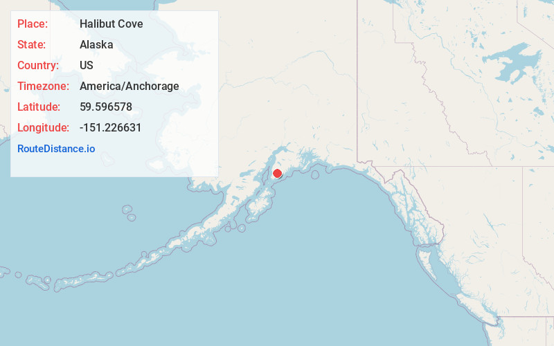
Full AddressHalibut Cove, AK
-
Coordinates59.5965782, -151.2266308
-
LocationHalibut Cove , Alaska , US
-
TimezoneAmerica/Anchorage
-
Current Local Time4:32:25 AM America/AnchorageSaturday, June 7, 2025
-
Page Views0
About Halibut Cove
Halibut Cove is a census-designated place in Kenai Peninsula Borough, Alaska, United States. The population was 76 at the 2010 census, up from 35 in 2000.
Originally a fishing village, Halibut Cove is now home to several artists and businesses. One of the only floating U.S. post offices is located there.


Nearby Places
Found 9 places within 50 miles

Fritz Creek
8.3 mi
13.4 km
Fritz Creek, AK 99603
Get directions

Kachemak
9.4 mi
15.1 km
Kachemak, AK 99603
Get directions

Homer
11.2 mi
18.0 km
Homer, AK
Get directions

Fox River
16.0 mi
25.7 km
Fox River, AK
Get directions

Diamond Ridge
16.1 mi
25.9 km
Diamond Ridge, AK
Get directions

Anchor Point
24.9 mi
40.1 km
Anchor Point, AK
Get directions

Happy Valley
29.4 mi
47.3 km
Happy Valley, AK
Get directions

Ninilchik
34.2 mi
55.0 km
Ninilchik, AK
Get directions

Clam Gulch
43.9 mi
70.7 km
Clam Gulch, AK 99568
Get directions
Location Links
Local Weather
Weather Information
Coming soon!
Location Map
Static map view of Halibut Cove, Alaska
Browse Places by Distance
Places within specific distances from Halibut Cove
Short Distances
Long Distances
Click any distance to see all places within that range from Halibut Cove. Distances shown in miles (1 mile ≈ 1.61 kilometers).