Distance to Halls Summit, Kansas

Calculating Your Route
Just a moment while we process your request...
Location Information
-
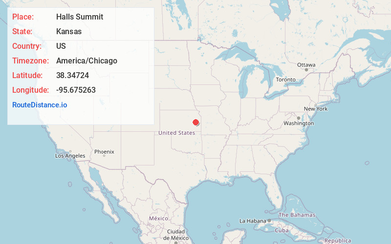
Full AddressHalls Summit, Key West Township, KS 66871
-
Coordinates38.3472397, -95.6752631
-
LocationKey West Township , Kansas , US
-
TimezoneAmerica/Chicago
-
Current Local Time10:38:40 AM America/ChicagoThursday, June 19, 2025
-
Page Views0
About Halls Summit
Halls Summit is an unincorporated community in Coffey County, Kansas, United States. It is located at the intersection of 22nd Rd NW and Planter Rd.
Nearby Places
Found 10 places within 50 miles

Sharpe
4.6 mi
7.4 km
Sharpe, KS 66871
Get directions

Waverly
5.1 mi
8.2 km
Waverly, KS 66871
Get directions
New Strawn
6.9 mi
11.1 km
New Strawn, KS 66839
Get directions
Agricola
9.1 mi
14.6 km
Agricola, KS 66871
Get directions
Ridgeton
9.7 mi
15.6 km
Ridgeton, Olivet Township, KS 66856
Get directions
Olivet
10.1 mi
16.3 km
Olivet, KS 66856
Get directions
Lebo
10.8 mi
17.4 km
Lebo, KS 66856
Get directions

Burlington
11.2 mi
18.0 km
Burlington, KS 66839
Get directions

Melvern
11.2 mi
18.0 km
Melvern, KS 66510
Get directions
Jacobs Creek Landing
12.0 mi
19.3 km
Jacobs Creek Landing, Pleasant Township, KS 66854
Get directions
Location Links
Local Weather
Weather Information
Coming soon!
Location Map
Static map view of Halls Summit, Kansas
Browse Places by Distance
Places within specific distances from Halls Summit
Short Distances
Long Distances
Click any distance to see all places within that range from Halls Summit. Distances shown in miles (1 mile ≈ 1.61 kilometers).