Distance to Hamburg, Kansas

Calculating Your Route
Just a moment while we process your request...
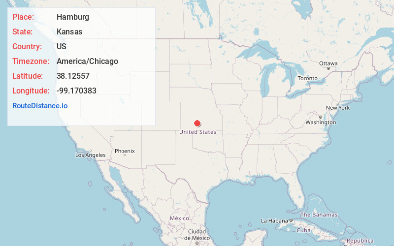
Location Information
-
Full AddressHamburg, Santa Fe Township, KS 67550
-
Coordinates38.1255698, -99.1703834
-
LocationSanta Fe Township , Kansas , US
-
TimezoneAmerica/Chicago
-
Current Local Time8:03:48 PM America/ChicagoSaturday, June 7, 2025
-
Page Views0
Nearby Places
Found 10 places within 50 miles

Frizell
3.7 mi
6.0 km
Frizell, Santa Fe Township, KS 67550
Get directions
Garfield
5.2 mi
8.4 km
Garfield, KS 67529
Get directions

Larned
5.4 mi
8.7 km
Larned, KS 67550
Get directions
Zook
6.5 mi
10.5 km
Zook, KS 67550
Get directions
Sanford
8.7 mi
14.0 km
Sanford, Morton Township, KS 67550
Get directions
Bert Wettar
11.7 mi
18.8 km
Bert Wettar, Grant Township, KS 67550
Get directions
Nettleton
12.6 mi
20.3 km
Nettleton, KS 67529
Get directions
Ash Valley
12.6 mi
20.3 km
Ash Valley, KS 67550
Get directions
Belpre
12.7 mi
20.4 km
Belpre, KS 67519
Get directions

Rozel
13.5 mi
21.7 km
Rozel, KS 67574
Get directions
Location Links
Local Weather
Weather Information
Coming soon!
Location Map
Static map view of Hamburg, Kansas
Browse Places by Distance
Places within specific distances from Hamburg
Short Distances
Long Distances
Click any distance to see all places within that range from Hamburg. Distances shown in miles (1 mile ≈ 1.61 kilometers).