Distance to Zook, Kansas

Calculating Your Route
Just a moment while we process your request...
Location Information
-
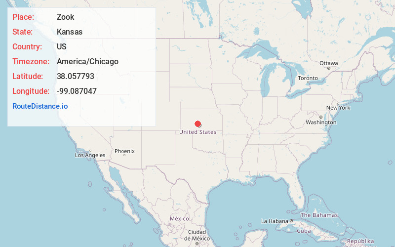
Full AddressZook, KS 67550
-
Coordinates38.0577926, -99.0870474
-
LocationZook , Kansas , US
-
TimezoneAmerica/Chicago
-
Current Local Time6:39:52 AM America/ChicagoSaturday, June 7, 2025
-
Page Views0
About Zook
Zook is an unincorporated community in Pawnee County, Kansas, United States. It is located approximately eight miles south of Larned, east of the intersection of K-19 highway and East Road.
Nearby Places
Found 10 places within 50 miles

Belpre
7.5 mi
12.1 km
Belpre, KS 67519
Get directions

Larned
8.5 mi
13.7 km
Larned, KS 67550
Get directions
Garfield
8.7 mi
14.0 km
Garfield, KS 67529
Get directions

Macksville
9.4 mi
15.1 km
Macksville, KS 67557
Get directions

Lewis
12.3 mi
19.8 km
Lewis, KS 67552
Get directions

Radium
13.2 mi
21.2 km
Radium, KS 67550
Get directions
Nettleton
14.0 mi
22.5 km
Nettleton, KS 67529
Get directions

Pawnee Rock
15.5 mi
24.9 km
Pawnee Rock, KS 67567
Get directions
Seward
17.9 mi
28.8 km
Seward, KS 67576
Get directions

St John
18.2 mi
29.3 km
St John, KS 67576
Get directions
Location Links
Local Weather
Weather Information
Coming soon!
Location Map
Static map view of Zook, Kansas
Browse Places by Distance
Places within specific distances from Zook
Short Distances
Long Distances
Click any distance to see all places within that range from Zook. Distances shown in miles (1 mile ≈ 1.61 kilometers).