Distance to Pawnee Rock, Kansas

Calculating Your Route
Just a moment while we process your request...
Location Information
-
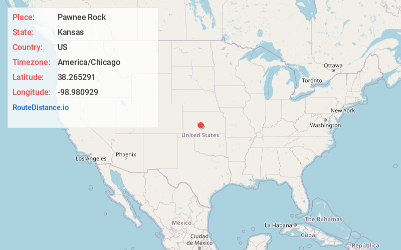
Full AddressPawnee Rock, KS 67567
-
Coordinates38.2652911, -98.9809292
-
LocationPawnee Rock , Kansas , US
-
TimezoneAmerica/Chicago
-
Current Local Time8:53:27 PM America/ChicagoThursday, June 19, 2025
-
Page Views0
About Pawnee Rock
Pawnee Rock is a city in Barton County, Kansas, United States. As of the 2020 census, the population of the city was 193.


Nearby Places
Found 10 places within 50 miles

Larned
8.7 mi
14.0 km
Larned, KS 67550
Get directions

Great Bend
13.6 mi
21.9 km
Great Bend, KS 67530
Get directions

Otis
19.0 mi
30.6 km
Otis, KS 67565
Get directions

Hoisington
20.6 mi
33.2 km
Hoisington, KS 67544
Get directions

Macksville
21.2 mi
34.1 km
Macksville, KS 67557
Get directions

St John
21.8 mi
35.1 km
St John, KS 67576
Get directions

Ellinwood
22.6 mi
36.4 km
Ellinwood, KS
Get directions

La Crosse
25.6 mi
41.2 km
La Crosse, KS 67548
Get directions

Lewis
27.1 mi
43.6 km
Lewis, KS 67552
Get directions

Stafford
29.4 mi
47.3 km
Stafford, KS 67578
Get directions
Location Links
Local Weather
Weather Information
Coming soon!
Location Map
Static map view of Pawnee Rock, Kansas
Browse Places by Distance
Places within specific distances from Pawnee Rock
Short Distances
Long Distances
Click any distance to see all places within that range from Pawnee Rock. Distances shown in miles (1 mile ≈ 1.61 kilometers).