Distance to Hamden, Connecticut

Calculating Your Route
Just a moment while we process your request...
Location Information
-
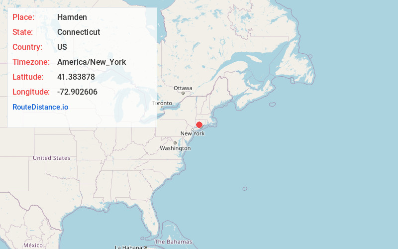
Full AddressHamden, CT
-
Coordinates41.3838782, -72.9026064
-
LocationHamden , Connecticut , US
-
TimezoneAmerica/New_York
-
Current Local Time1:10:03 AM America/New_YorkWednesday, June 25, 2025
-
Website
-
Page Views0
About Hamden
Hamden is a town in New Haven County, Connecticut, United States. The town's nickname is "The Land of the Sleeping Giant". The town is part of the South Central Connecticut Planning Region. The population was 61,169 at the 2020 census.


Nearby Places
Found 10 places within 50 miles

Montowese
3.2 mi
5.1 km
Montowese, North Haven, CT 06473
Get directions

New Haven
5.4 mi
8.7 km
New Haven, CT
Get directions

North Branford
8.0 mi
12.9 km
North Branford, CT
Get directions

West Haven
8.1 mi
13.0 km
West Haven, CT 06516
Get directions

Cheshire
8.6 mi
13.8 km
Cheshire, CT
Get directions

Ansonia
9.5 mi
15.3 km
Ansonia, CT
Get directions

Naugatuck
10.4 mi
16.7 km
Naugatuck, CT
Get directions

Derby
10.6 mi
17.1 km
Derby, CT
Get directions

Shelton
10.9 mi
17.5 km
Shelton, CT 06484
Get directions

Meriden
11.8 mi
19.0 km
Meriden, CT
Get directions
Location Links
Local Weather
Weather Information
Coming soon!
Location Map
Static map view of Hamden, Connecticut
Browse Places by Distance
Places within specific distances from Hamden
Short Distances
Long Distances
Click any distance to see all places within that range from Hamden. Distances shown in miles (1 mile ≈ 1.61 kilometers).