Distance to Hamill, South Dakota

Calculating Your Route
Just a moment while we process your request...
Location Information
-
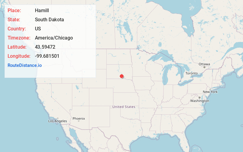
Full AddressHamill, SD 57534
-
Coordinates43.5947196, -99.6815007
-
LocationHamill , South Dakota , US
-
TimezoneAmerica/Chicago
-
Current Local Time5:34:42 PM America/ChicagoTuesday, June 3, 2025
-
Page Views0
About Hamill
Hamill is a rural hamlet in Tripp County, South Dakota, United States. The population was 14 at the 2020 census. There is a post office at Hamill, also two churches and a community hall; otherwise, no businesses or services.
Hamill lies about 1.9 miles south of No Moccasin Creek, a tributary of the White River.
Nearby Places
Found 10 places within 50 miles

Ideal
12.5 mi
20.1 km
Ideal, SD 57541
Get directions

Winner
17.5 mi
28.2 km
Winner, SD 57580
Get directions

Oacoma
19.9 mi
32.0 km
Oacoma, SD
Get directions

Reliance
20.0 mi
32.2 km
Reliance, SD 57569
Get directions
New Witten
22.7 mi
36.5 km
New Witten, SD 57584
Get directions

Chamberlain
23.0 mi
37.0 km
Chamberlain, SD 57325
Get directions

Colome
23.2 mi
37.3 km
Colome, SD 57528
Get directions
Kennebec
23.2 mi
37.3 km
Kennebec, SD 57544
Get directions
Ola
23.6 mi
38.0 km
Ola, SD 57325
Get directions
Dallas
26.1 mi
42.0 km
Dallas, SD 57529
Get directions
Location Links
Local Weather
Weather Information
Coming soon!
Location Map
Static map view of Hamill, South Dakota
Browse Places by Distance
Places within specific distances from Hamill
Short Distances
Long Distances
Click any distance to see all places within that range from Hamill. Distances shown in miles (1 mile ≈ 1.61 kilometers).