Distance to Ola, South Dakota

Calculating Your Route
Just a moment while we process your request...
Location Information
-
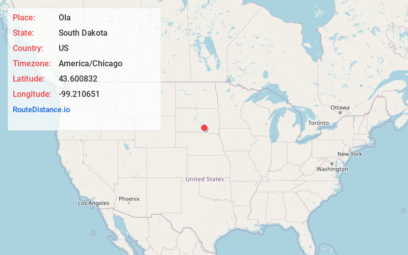
Full AddressOla, SD 57325
-
Coordinates43.6008319, -99.2106509
-
LocationOla , South Dakota , US
-
TimezoneAmerica/Chicago
-
Current Local Time4:04:43 AM America/ChicagoSaturday, June 7, 2025
-
Page Views0
About Ola
Ola is an unincorporated community and census-designated place in Brule County, South Dakota, United States. The population was 15 according to the 2020 census.
The CDP is located in southern Brule County, 2 miles west of South Dakota Highway 50 and 12 miles south of Interstate 90.
Nearby Places
Found 10 places within 50 miles

Platte Colony
10.0 mi
16.1 km
Platte Colony, SD 57369
Get directions

Pukwana
12.3 mi
19.8 km
Pukwana, SD 57370
Get directions

Chamberlain
15.7 mi
25.3 km
Chamberlain, SD 57325
Get directions
Kimball
16.1 mi
25.9 km
Kimball, SD 57355
Get directions

Oacoma
16.3 mi
26.2 km
Oacoma, SD
Get directions

Platte
23.6 mi
38.0 km
Platte, SD 57369
Get directions

White Lake
26.4 mi
42.5 km
White Lake, SD 57383
Get directions

Reliance
27.4 mi
44.1 km
Reliance, SD 57569
Get directions

Gregory
27.5 mi
44.3 km
Gregory, SD 57533
Get directions

Burke
29.2 mi
47.0 km
Burke, SD 57523
Get directions
Location Links
Local Weather
Weather Information
Coming soon!
Location Map
Static map view of Ola, South Dakota
Browse Places by Distance
Places within specific distances from Ola
Short Distances
Long Distances
Click any distance to see all places within that range from Ola. Distances shown in miles (1 mile ≈ 1.61 kilometers).