Distance to Pukwana, South Dakota

Calculating Your Route
Just a moment while we process your request...
Location Information
-
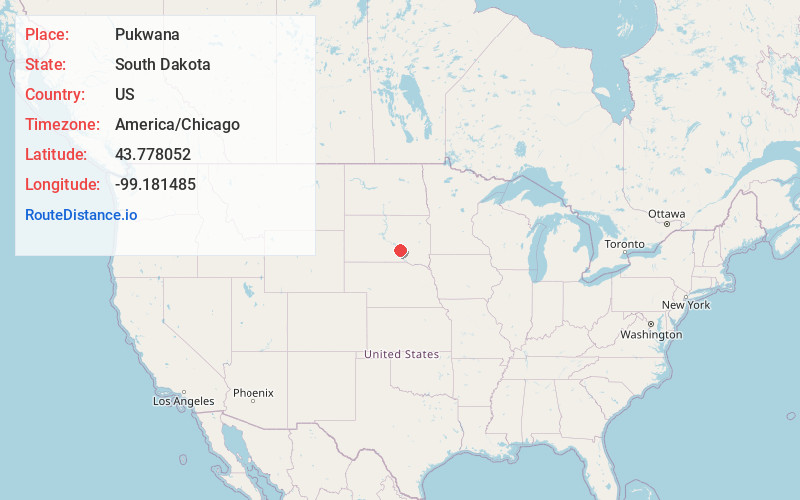
Full AddressPukwana, SD 57370
-
Coordinates43.7780522, -99.1814852
-
LocationPukwana , South Dakota , US
-
TimezoneAmerica/Chicago
-
Current Local Time12:18:18 PM America/ChicagoFriday, June 20, 2025
-
Page Views0
About Pukwana
Pukwana is a town in Brule County, South Dakota, United States. The population was 233 at the 2020 census.
Pukwana was laid out in 1881.


Nearby Places
Found 10 places within 50 miles

Chamberlain
7.8 mi
12.6 km
Chamberlain, SD 57325
Get directions

Oacoma
10.7 mi
17.2 km
Oacoma, SD
Get directions

Kimball
11.3 mi
18.2 km
Kimball, SD 57355
Get directions

White Lake
23.6 mi
38.0 km
White Lake, SD 57383
Get directions

Fort Thompson
23.8 mi
38.3 km
Fort Thompson, SD
Get directions

Lower Brule
28.5 mi
45.9 km
Lower Brule, SD 57548
Get directions

Platte
31.9 mi
51.3 km
Platte, SD 57369
Get directions
Kennebec
35.0 mi
56.3 km
Kennebec, SD 57544
Get directions
Plankinton
35.0 mi
56.3 km
Plankinton, SD 57368
Get directions

Wessington Springs
36.9 mi
59.4 km
Wessington Springs, SD 57382
Get directions
Location Links
Local Weather
Weather Information
Coming soon!
Location Map
Static map view of Pukwana, South Dakota
Browse Places by Distance
Places within specific distances from Pukwana
Short Distances
Long Distances
Click any distance to see all places within that range from Pukwana. Distances shown in miles (1 mile ≈ 1.61 kilometers).