Distance to Platte Colony, South Dakota

Calculating Your Route
Just a moment while we process your request...
Location Information
-
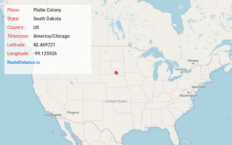
Full AddressPlatte Colony, SD 57369
-
Coordinates43.4697214, -99.1259259
-
LocationPlatte Colony , South Dakota , US
-
TimezoneAmerica/Chicago
-
Current Local Time12:43:28 AM America/ChicagoWednesday, May 21, 2025
-
Page Views0
About Platte Colony
Platte Colony is a Hutterite colony and census-designated place in Charles Mix County, South Dakota, United States. It was first listed as a CDP prior to the 2020 census. The population of the CDP was 299 at the 2020 census.
Nearby Places
Found 10 places within 50 miles

Platte
15.2 mi
24.5 km
Platte, SD 57369
Get directions

Kimball
20.9 mi
33.6 km
Kimball, SD 57355
Get directions

Pukwana
21.5 mi
34.6 km
Pukwana, SD 57370
Get directions

Burke
21.5 mi
34.6 km
Burke, SD 57523
Get directions

Gregory
22.2 mi
35.7 km
Gregory, SD 57533
Get directions

Herrick
24.7 mi
39.8 km
Herrick, SD 57538
Get directions
Dallas
25.4 mi
40.9 km
Dallas, SD 57529
Get directions

Chamberlain
25.7 mi
41.4 km
Chamberlain, SD 57325
Get directions
New Holland
26.1 mi
42.0 km
New Holland, SD
Get directions

Oacoma
26.3 mi
42.3 km
Oacoma, SD
Get directions
Location Links
Local Weather
Weather Information
Coming soon!
Location Map
Static map view of Platte Colony, South Dakota
Browse Places by Distance
Places within specific distances from Platte Colony
Short Distances
Long Distances
Click any distance to see all places within that range from Platte Colony. Distances shown in miles (1 mile ≈ 1.61 kilometers).