Distance to New Holland, South Dakota

Calculating Your Route
Just a moment while we process your request...
Location Information
-
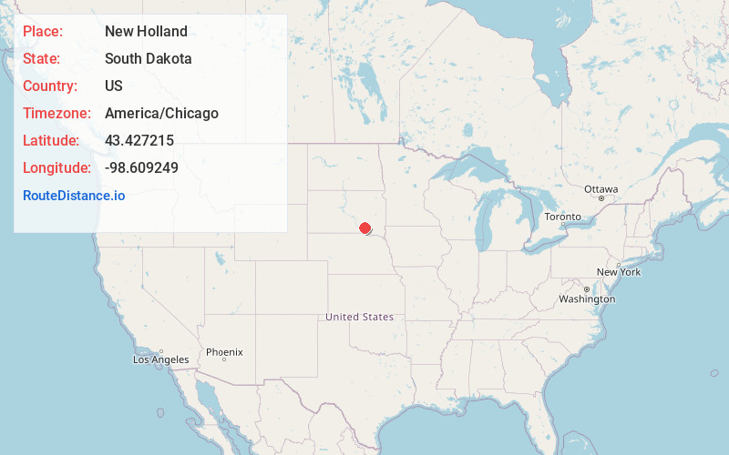
Full AddressNew Holland, SD
-
Coordinates43.4272145, -98.6092491
-
LocationNew Holland , South Dakota , US
-
TimezoneAmerica/Chicago
-
Current Local Time8:50:54 PM America/ChicagoWednesday, June 18, 2025
-
Page Views0
About New Holland
New Holland is a census-designated place in Douglas County, South Dakota, United States. The population was 77 at the 2020 census.
A large share of the early settlers being natives of Holland caused the name to be selected.
Nearby Places
Found 10 places within 50 miles

Aurora Center
7.0 mi
11.3 km
Aurora Center, SD 57375
Get directions

Corsica
10.1 mi
16.3 km
Corsica, SD 57328
Get directions

Platte
12.1 mi
19.5 km
Platte, SD 57369
Get directions
Geddes
12.8 mi
20.6 km
Geddes, SD 57342
Get directions
Stickney
14.1 mi
22.7 km
Stickney, SD 57375
Get directions

Armour
15.2 mi
24.5 km
Armour, SD 57313
Get directions

Lake Andes
19.0 mi
30.6 km
Lake Andes, SD 57356
Get directions
Plankinton
20.9 mi
33.6 km
Plankinton, SD 57368
Get directions

White Lake
21.6 mi
34.8 km
White Lake, SD 57383
Get directions
Ravinia
22.1 mi
35.6 km
Ravinia, SD 57356
Get directions
Location Links
Local Weather
Weather Information
Coming soon!
Location Map
Static map view of New Holland, South Dakota
Browse Places by Distance
Places within specific distances from New Holland
Short Distances
Long Distances
Click any distance to see all places within that range from New Holland. Distances shown in miles (1 mile ≈ 1.61 kilometers).