Distance to Hamilton, Indiana

Calculating Your Route
Just a moment while we process your request...
Location Information
-
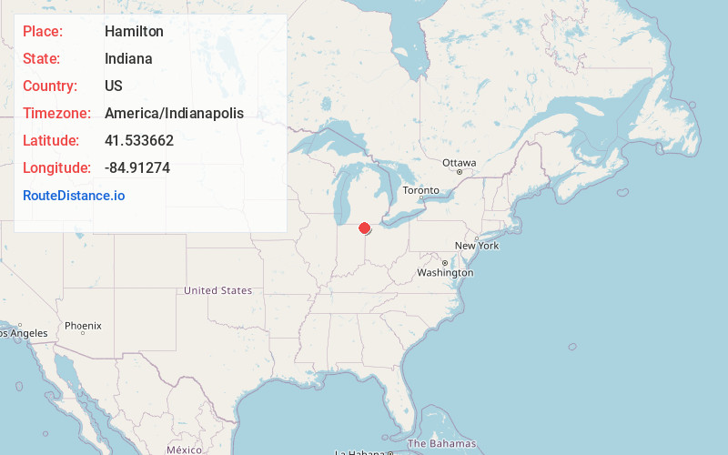
Full AddressHamilton, IN 46742
-
Coordinates41.5336616, -84.9127396
-
LocationHamilton , Indiana , US
-
TimezoneAmerica/Indianapolis
-
Website
-
Page Views0
About Hamilton
Hamilton is a town located on the border of Steuben County, Indiana and DeKalb County, Indiana. In Steuben County, it is in Otsego Township, and in DeKalb County it is in Franklin Township. The population was 1,529 at the 2020 census.


Nearby Places
Found 10 places within 50 miles

Butler
7.5 mi
12.1 km
Butler, IN 46721
Get directions

Angola
8.3 mi
13.4 km
Angola, IN 46703
Get directions

Waterloo
9.0 mi
14.5 km
Waterloo, IN 46793
Get directions

Edgerton
10.4 mi
16.7 km
Edgerton, OH 43517
Get directions

Fremont
13.7 mi
22.0 km
Fremont, IN 46737
Get directions

Auburn
13.8 mi
22.2 km
Auburn, IN
Get directions

Montpelier
16.3 mi
26.2 km
Montpelier, OH 43543
Get directions

Garrett
17.2 mi
27.7 km
Garrett, IN
Get directions

Hicksville
18.4 mi
29.6 km
Hicksville, OH 43526
Get directions

Bryan
19.1 mi
30.7 km
Bryan, OH 43506
Get directions
Location Links
Local Weather
Weather Information
Coming soon!
Location Map
Static map view of Hamilton, Indiana
Browse Places by Distance
Places within specific distances from Hamilton
Short Distances
Long Distances
Click any distance to see all places within that range from Hamilton. Distances shown in miles (1 mile ≈ 1.61 kilometers).