Distance to Hampshire, England

Calculating Your Route
Just a moment while we process your request...
Location Information
-
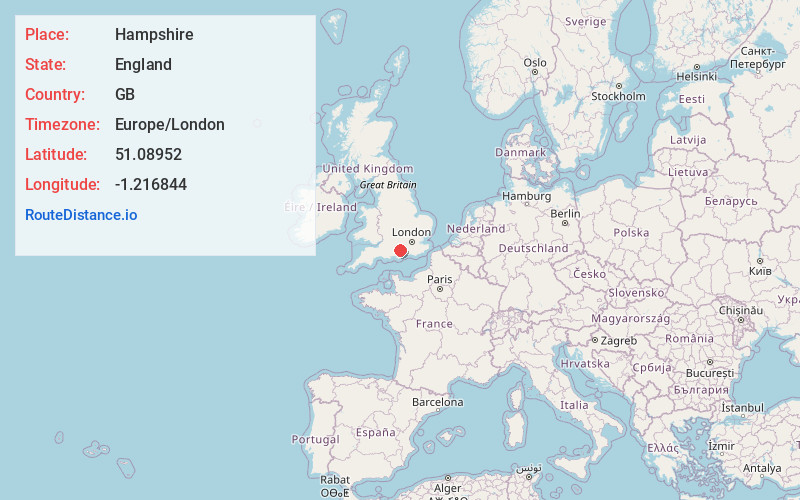
Full AddressHampshire, UK
-
Coordinates51.0895203, -1.216844
-
LocationEngland , GB
-
TimezoneEurope/London
-
Current Local Time7:18:18 AM Europe/LondonThursday, June 5, 2025
-
Page Views0
About Hampshire
Hampshire is a ceremonial county in South East England. It is bordered by Berkshire to the north, Surrey and West Sussex to the east, the Isle of Wight across the Solent to the south, Dorset to the west, and Wiltshire to the north-west. The city of Southampton is the largest settlement.


Nearby Places
Found 7 places within 50 miles

Salisbury
25.1 mi
40.4 km
Salisbury, UK
Get directions

Surrey
34.6 mi
55.7 km
Surrey, UK
Get directions

Windsor
37.5 mi
60.4 km
Windsor, UK
Get directions

Windsor Castle
38.0 mi
61.2 km
Windsor Castle, Windsor SL4 1NJ, United Kingdom
Get directions

Heathrow Airport
42.0 mi
67.6 km
Heathrow Airport (LHR), Hounslow, United Kingdom
Get directions

Oxford
45.8 mi
73.7 km
Oxford, UK
Get directions

Wimbledon
48.7 mi
78.4 km
Wimbledon, London, UK
Get directions
Location Links
Local Weather
Weather Information
Coming soon!
Location Map
Static map view of Hampshire, England
Browse Places by Distance
Places within specific distances from Hampshire
Short Distances
Long Distances
Click any distance to see all places within that range from Hampshire. Distances shown in miles (1 mile ≈ 1.61 kilometers).