Distance to Hampton, Kentucky

Calculating Your Route
Just a moment while we process your request...
Location Information
-
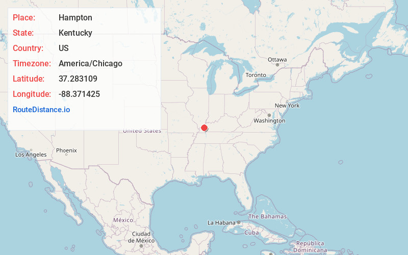
Full AddressHampton, KY 42078
-
Coordinates37.2831093, -88.3714253
-
LocationHampton , Kentucky , US
-
TimezoneAmerica/Chicago
-
Current Local Time1:35:09 AM America/ChicagoWednesday, June 25, 2025
-
Page Views0
About Hampton
Hampton is an unincorporated community in northern Livingston County, Kentucky, United States. The community is on Kentucky Route 135 approximately 13 miles south of Carrsville and the Ohio River.
Nearby Places
Found 10 places within 50 miles

Burna
2.7 mi
4.3 km
Burna, KY
Get directions
Vicksburg
7.1 mi
11.4 km
Vicksburg, KY 42083
Get directions

Salem
7.1 mi
11.4 km
Salem, KY 42078
Get directions

Carrsville
7.9 mi
12.7 km
Carrsville, KY 42081
Get directions

Golconda
8.6 mi
13.8 km
Golconda, IL
Get directions
Tansill
9.3 mi
15.0 km
Tansill, Golconda No. 1 Precinct, IL 62938
Get directions

Rosiclare
9.8 mi
15.8 km
Rosiclare, IL 62982
Get directions
Pinckneyville
9.8 mi
15.8 km
Pinckneyville, KY 42078
Get directions
Irma
9.9 mi
15.9 km
Irma, KY 42064
Get directions

Smithland
10.1 mi
16.3 km
Smithland, KY 42081
Get directions
Location Links
Local Weather
Weather Information
Coming soon!
Location Map
Static map view of Hampton, Kentucky
Browse Places by Distance
Places within specific distances from Hampton
Short Distances
Long Distances
Click any distance to see all places within that range from Hampton. Distances shown in miles (1 mile ≈ 1.61 kilometers).