Distance to Hanapepe, Hawaii

Calculating Your Route
Just a moment while we process your request...
Location Information
-
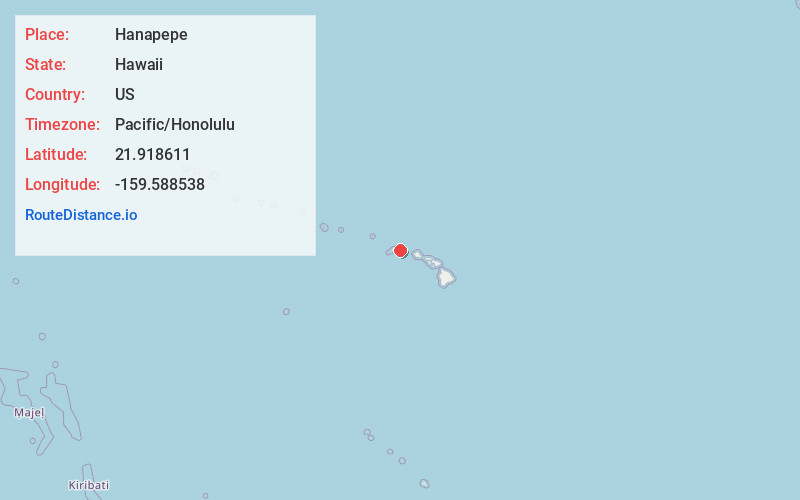
Full AddressHanapepe, HI
-
Coordinates21.9186113, -159.5885376
-
LocationHanapepe , Hawaii , US
-
TimezonePacific/Honolulu
-
Current Local Time10:25:00 AM Pacific/HonoluluThursday, June 5, 2025
-
Page Views1
About Hanapepe
Hanapēpē is a historic, unincorporated community in Kauai County, Hawaii, United States. The name means "crushed bay" in Hawaiian, which may refer to landslides in the area. For statistical purposes, the United States Census Bureau has defined Hanapepe as a census-designated place.


Nearby Places
Found 10 places within 50 miles

Kalaheo
4.0 mi
6.4 km
Kalaheo, HI 96741
Get directions

Lawai
5.2 mi
8.4 km
Lawai, HI
Get directions

Koloa
7.9 mi
12.7 km
Koloa, HI 96756
Get directions

Kekaha
8.9 mi
14.3 km
Kekaha, HI
Get directions
Puhi
12.8 mi
20.6 km
Puhi, HI 96766
Get directions

Hanamaulu
15.8 mi
25.4 km
Hanamaulu, HI 96766
Get directions

Wailua Homesteads
16.7 mi
26.9 km
Wailua Homesteads, HI 96746
Get directions

Wailua
18.5 mi
29.8 km
Wailua, HI 96746
Get directions

Kapaʻa
20.8 mi
33.5 km
Kapaʻa, HI 96746
Get directions

Anahola
23.6 mi
38.0 km
Anahola, HI 96703
Get directions
Location Links
Local Weather
Weather Information
Coming soon!
Location Map
Static map view of Hanapepe, Hawaii
Browse Places by Distance
Places within specific distances from Hanapepe
Short Distances
Long Distances
Click any distance to see all places within that range from Hanapepe. Distances shown in miles (1 mile ≈ 1.61 kilometers).