Distance to Hand, Michigan

Calculating Your Route
Just a moment while we process your request...
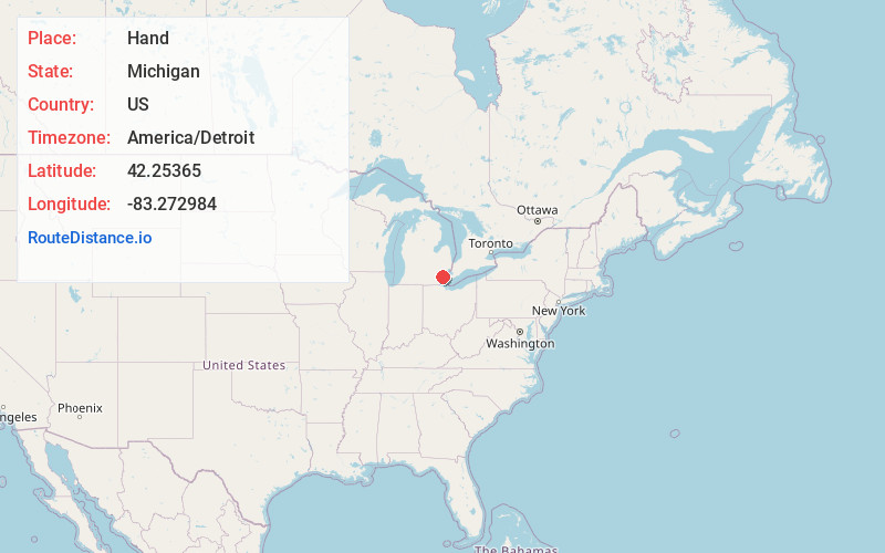
Location Information
-
Full AddressHand, Taylor, MI 48180
-
Coordinates42.2536495, -83.2729844
-
LocationTaylor , Michigan , US
-
TimezoneAmerica/Detroit
-
Current Local Time8:32:52 PM America/DetroitFriday, May 30, 2025
-
Page Views0
Nearby Places
Found 10 places within 50 miles

Taylor
0.9 mi
1.4 km
Taylor, MI 48180
Get directions

Allen Park
3.2 mi
5.1 km
Allen Park, MI 48101
Get directions

Inkster
3.4 mi
5.5 km
Inkster, MI 48141
Get directions

Lincoln Park
4.8 mi
7.7 km
Lincoln Park, MI 48146
Get directions

Southgate
4.9 mi
7.9 km
Southgate, MI
Get directions

Melvindale
5.4 mi
8.7 km
Melvindale, MI 48122
Get directions

Dearborn Heights
5.8 mi
9.3 km
Dearborn Heights, MI
Get directions

Garden City
5.8 mi
9.3 km
Garden City, MI 48135
Get directions

Wayne
6.1 mi
9.8 km
Wayne, MI 48184
Get directions

Ecorse
6.5 mi
10.5 km
Ecorse, MI
Get directions
Location Links
Local Weather
Weather Information
Coming soon!
Location Map
Static map view of Hand, Michigan
Browse Places by Distance
Places within specific distances from Hand
Short Distances
Long Distances
Click any distance to see all places within that range from Hand. Distances shown in miles (1 mile ≈ 1.61 kilometers).